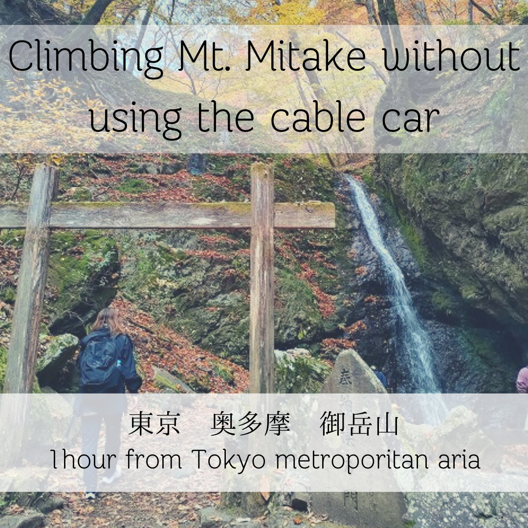
I climbed and hiked Mt. Mitake, which can be easily visited in just over an hour from the Tokyo metropolitan area.
The season was at its best on Saturday and Sunday, right in the middle of the fall foliage season.
To fully enjoy it, we climbed the mountain from Omotesando and hiked through the rock garden instead of taking the cable car.
Here is an overview of the day trip journey.
Start from Mitake Valley
It is normal to enter the mountains in the early morning, but I was heading there by train arriving after 10:00 a.m.
But due to a train accident, I was delayed and arrived at the site at 11:00.
We went to the Mitake Valley, we decided to take a short walk from the halfway point because it was beautiful!
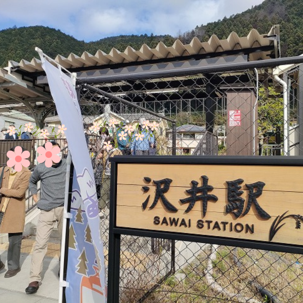
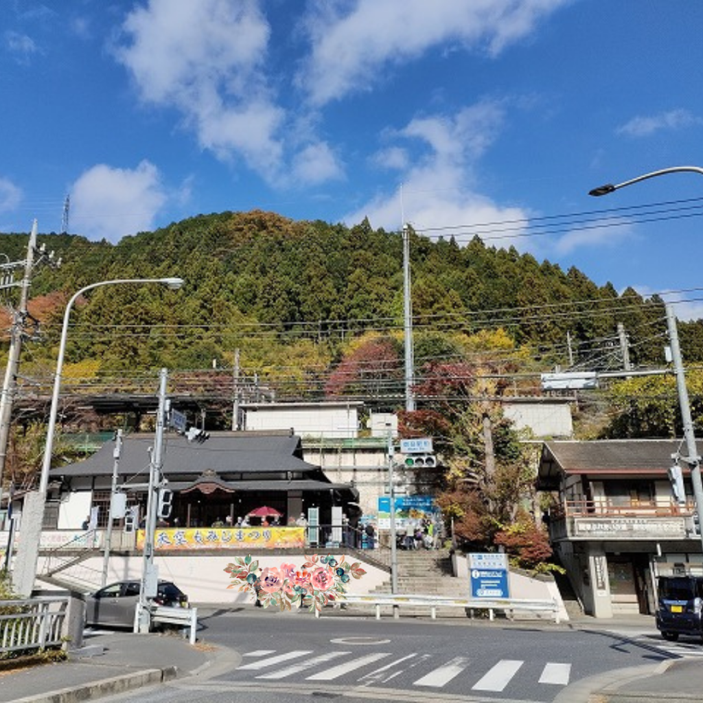
We got off at Sawai station, one station before Mitake station, and went for a walk.
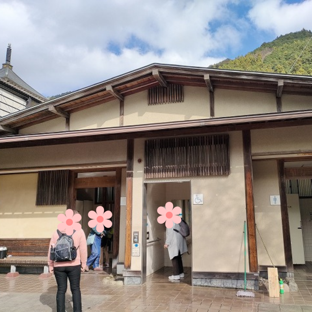
There was also a beautiful restroom area just outside Sawai Station, so stop by before you go for a walk.
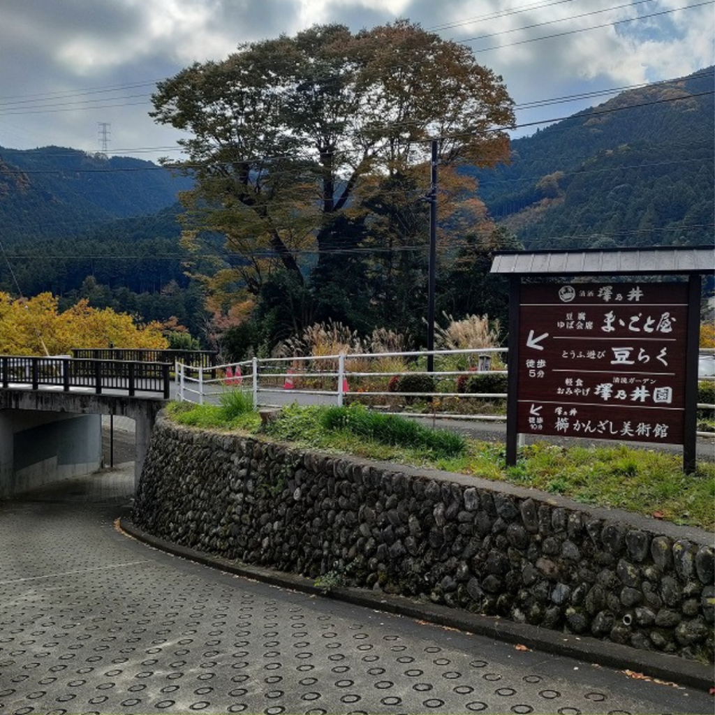
Follow the signs to Mitake Valley.
Sawai Station is home to the Sawanoi Sake brewery, which you can visit.
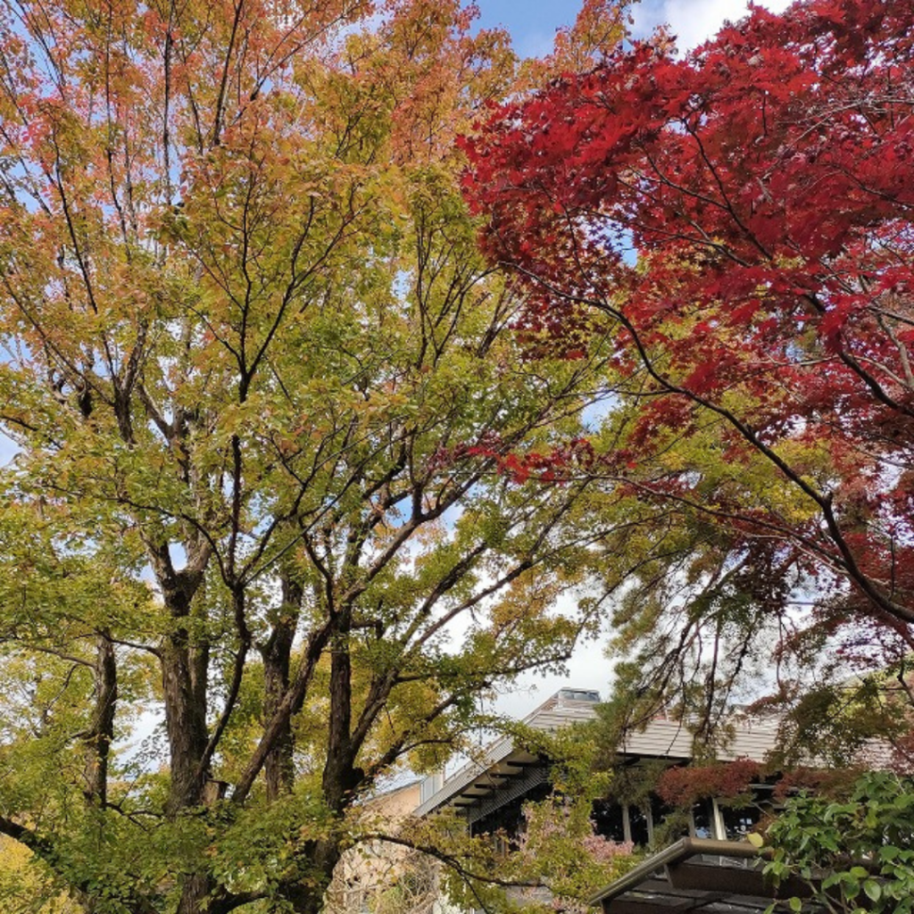
As you get off the train, you will see a sweet store where you can enjoy the colorful scenery during the autumn leaves.
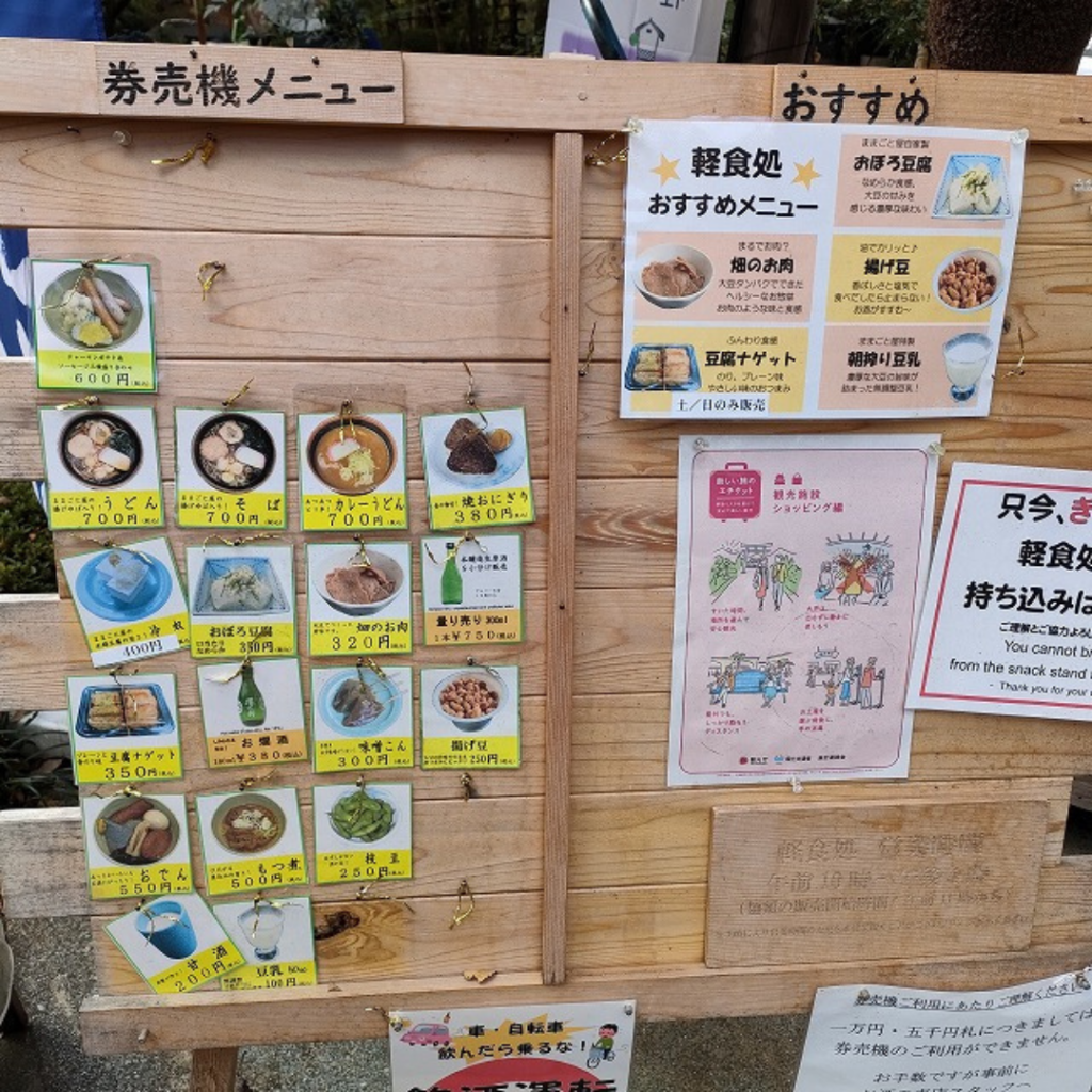
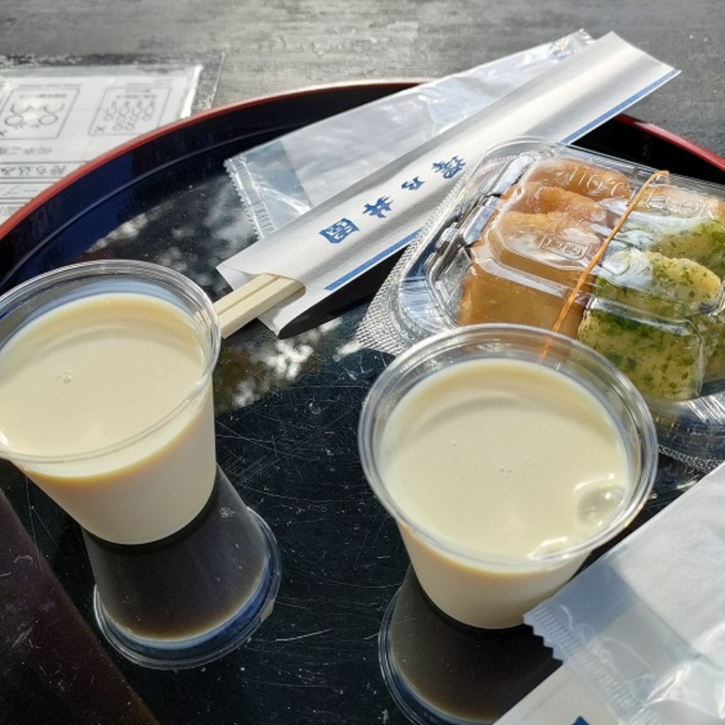
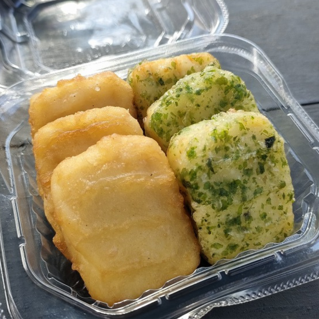
I bought soy milk (100 yen) and tofu nuggets (350 yen) at the concession stand for lunch.
I enjoyed the sweet taste of the soy milk, and the tofu nuggets were more flavorful than I expected!
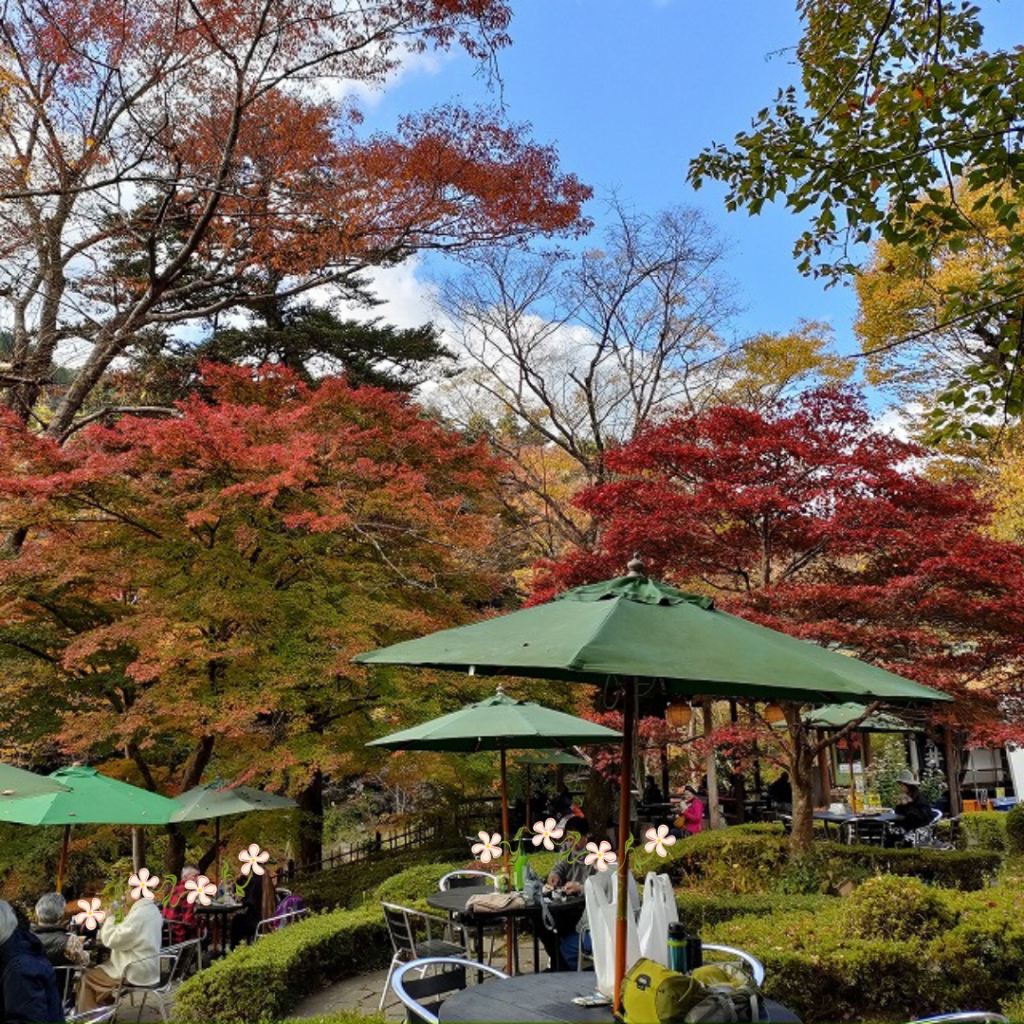
If the weather is nice, it is wonderful to be able to dine on the terrace with a spectacular view!
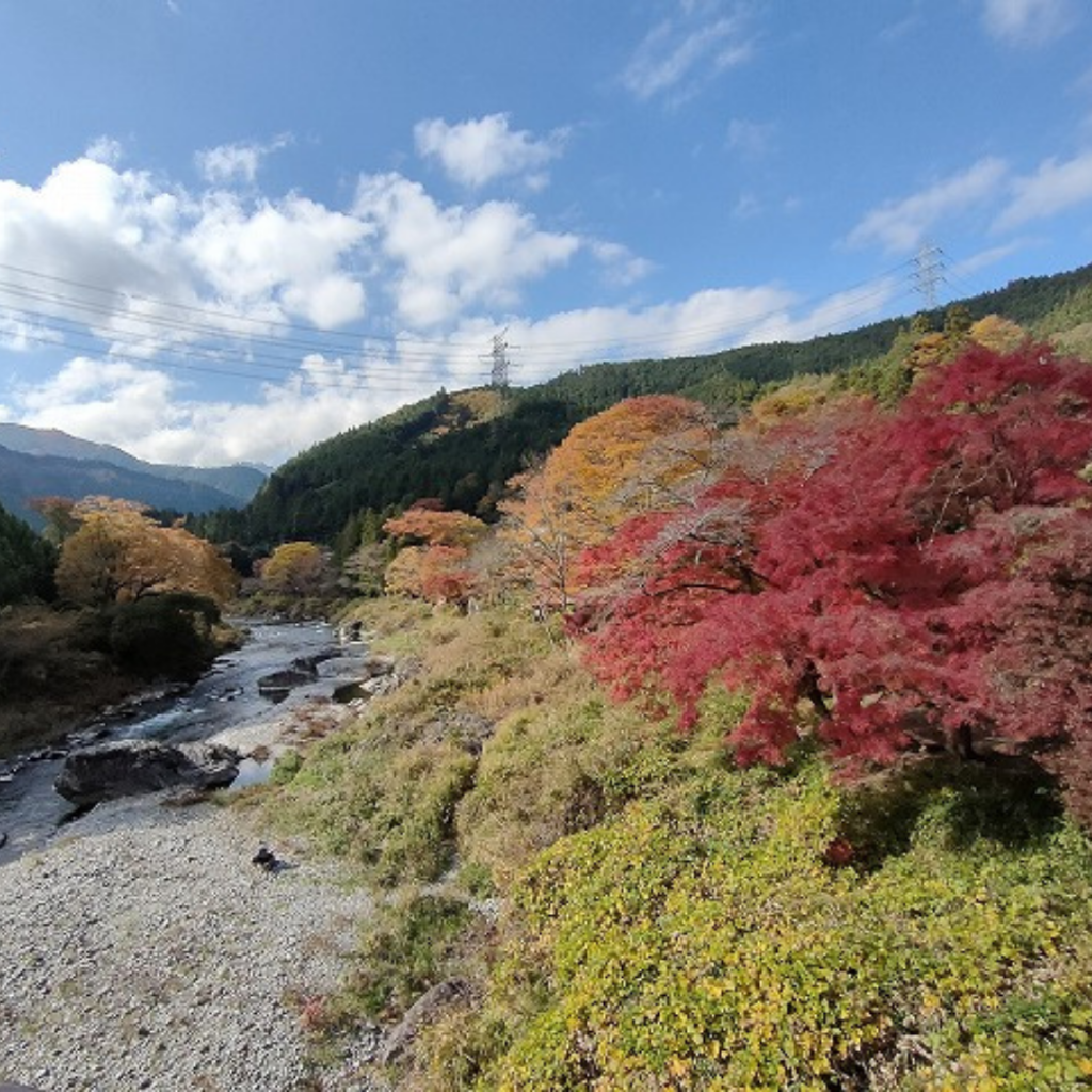
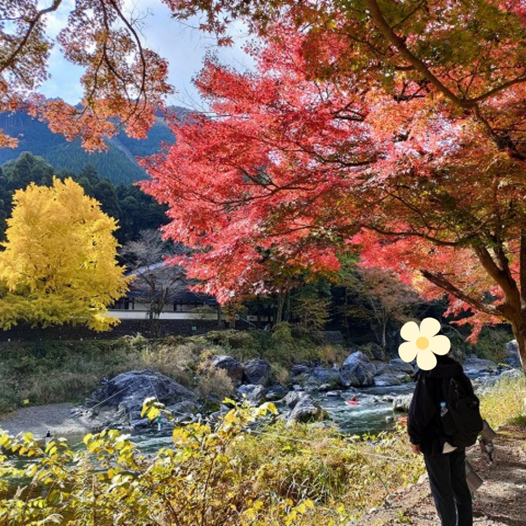
After we had eaten, we went for a walk along the Tama River from Sawai Station to Mitake Station.
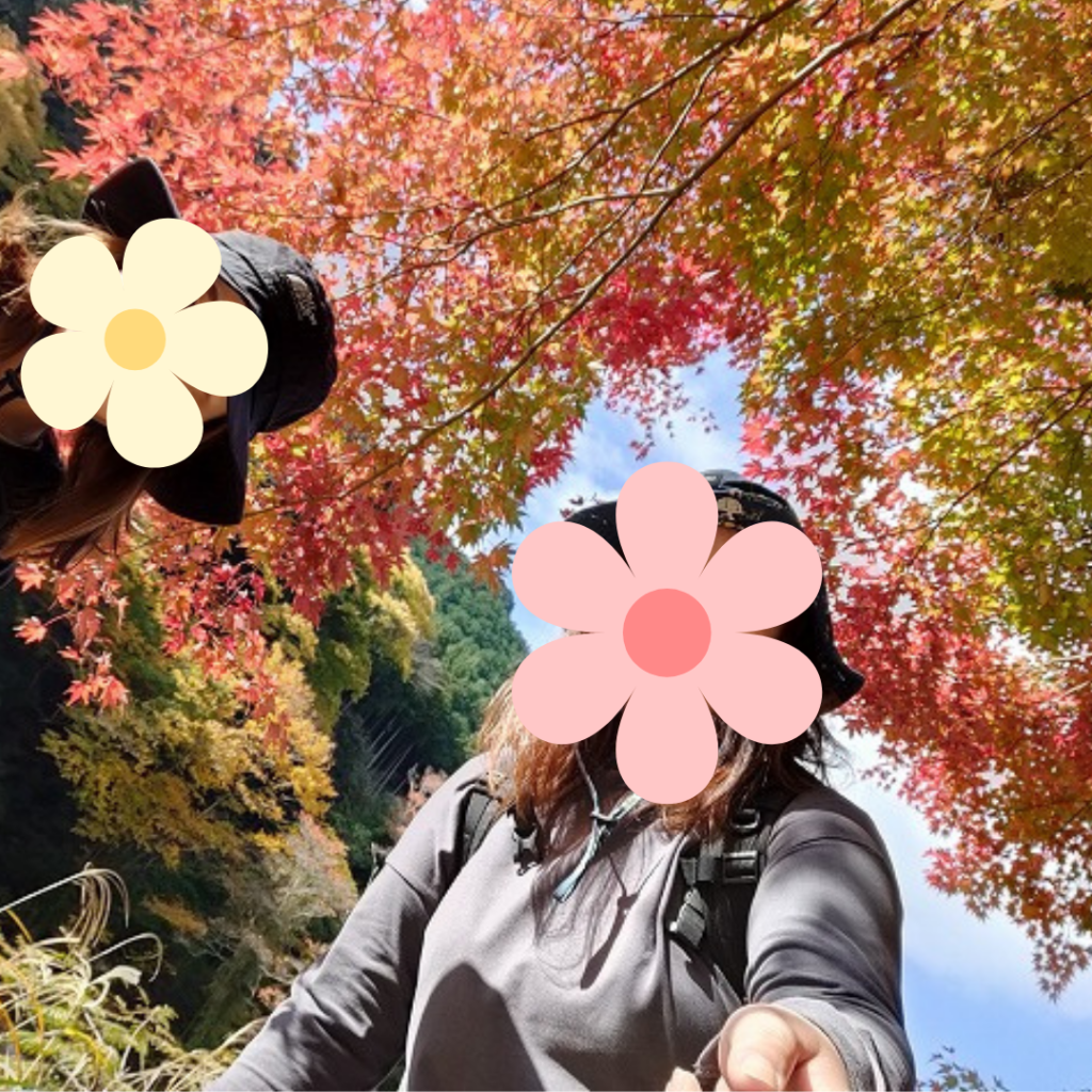
We were enjoying the autumn leaves along the walking path.
It would have taken less than 20 minutes if we had walked quickly, but we took pictures along the way and it took about 30 minutes.
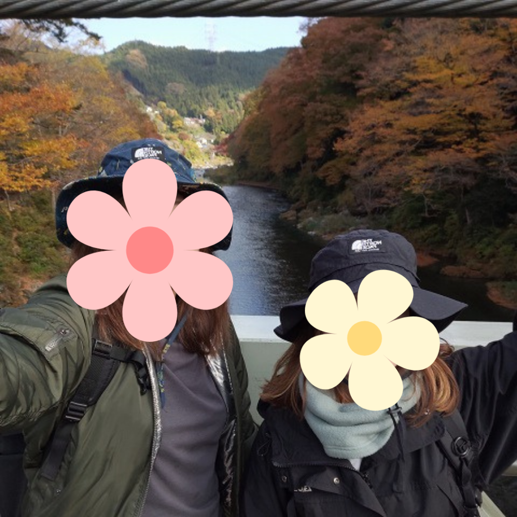
The suspension bridge at Sawanoi Garden and the view of the Tama River and the autumn leaves from the bridge on the way was beautiful…
When the sun was not hidden by clouds and the light was shining, the red color showed up and the scenery was picturesque no matter where you took it.
It is often difficult to convey the autumn foliage in photos, but this time, combined with the weather, I was able to get good photos.
It was around 11:00 on a Saturday and Sunday in the middle of the fall foliage season, but there were not many people, so it was not difficult to take pictures and enjoy nature while walking around.
This is the second year in a row that I have been to Mitake Valley, and it was still beautiful..!
Walk from Mitake Station to the trailhead
Having enjoyed the autumn foliage viewing, we will head for the main attraction of the trip, Mt. Mitake.
I would normally take a bus from Ontake Station to the cable car (Takimoto Station).
But I decided to walke to the Takimoto Station.
Because the weather was nice and I have been rusty from working from home.
It takes about 45 minutes to get there.
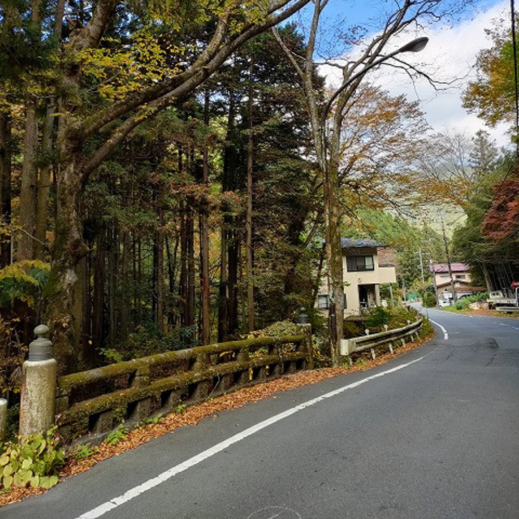
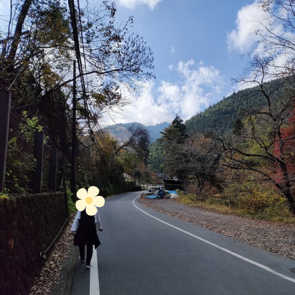
From the Mitake station, we walked in different formations, walking side by side or vertically, as we had to walk on a road with cars banging around along the way.
We were still talking the whole way, but you have to talk loudly to be heard. (The cars are loud) but I don’t mind because there aren’t many people around. It is like that.
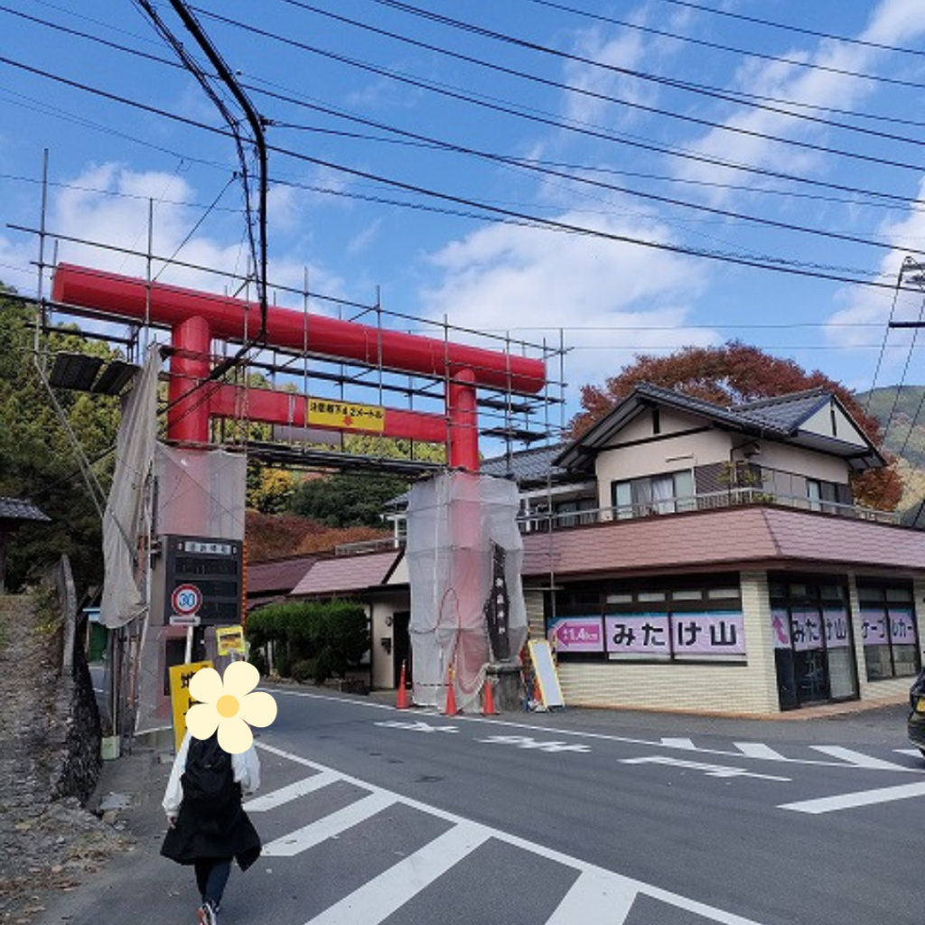
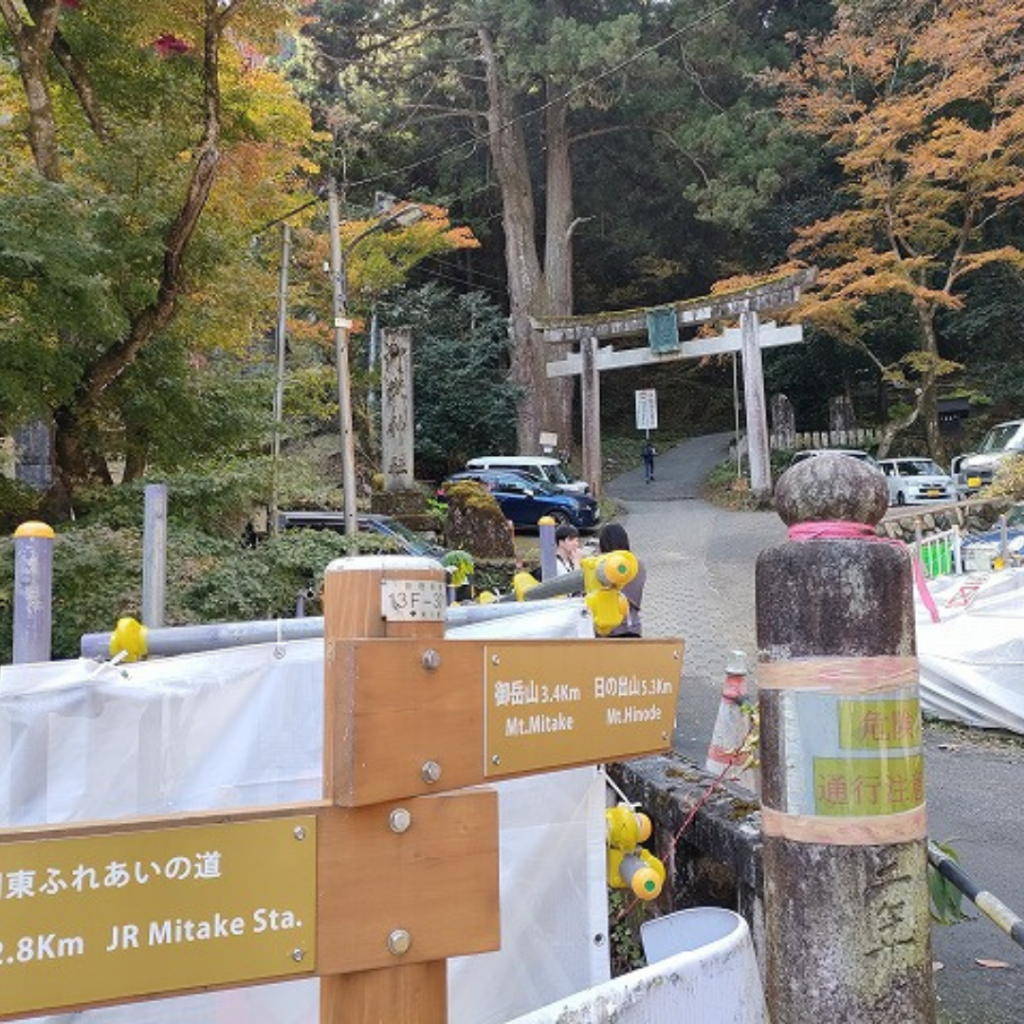
When the torii gate came into view with a sign that the cable car was this way, we now walked along a quiet path.
I was fine with the two of us walking together, but I was a little nervous about walking alone here.
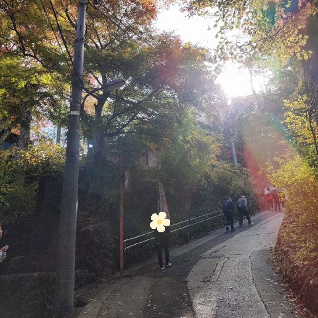
At first, it was fine, but from the middle of the path, the slope became higher and higher… and it was already a little tough.
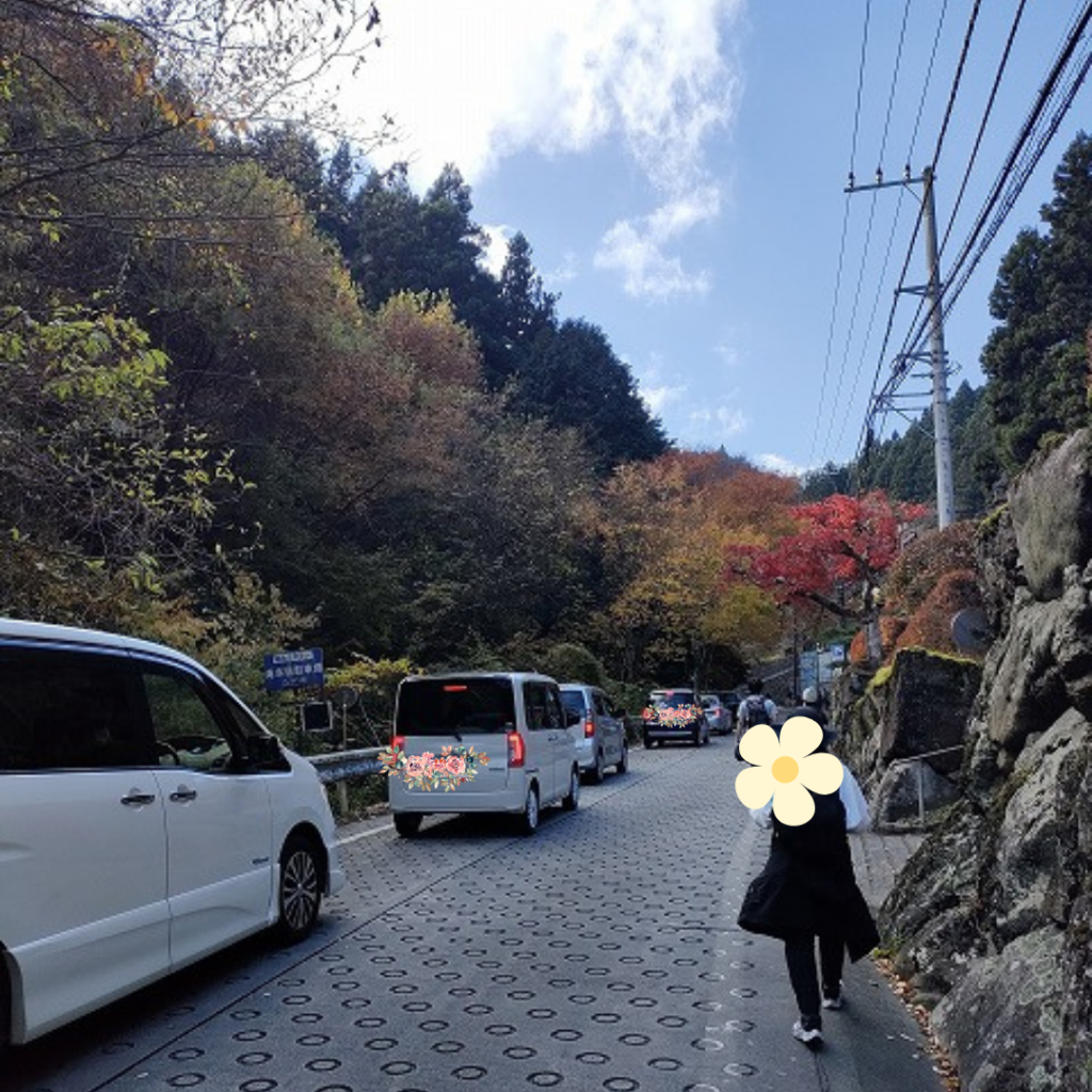
It’s tough on the incline… and now there are a lot of cars lined up.
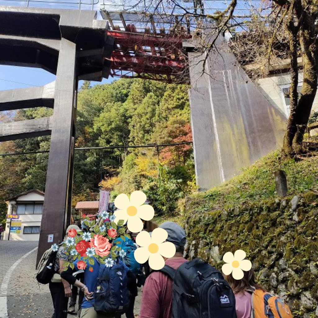
We were apparently approaching the cable car, but the parking lot was full and we were stuck. It would be better to come by public transportation (bus) if at all possible.
After the cars, a line of people appeared, and this one looks like a line of people waiting to board the cable car. Everyone is carrying a sack and wearing outdoor clothing.
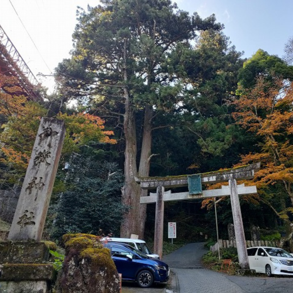
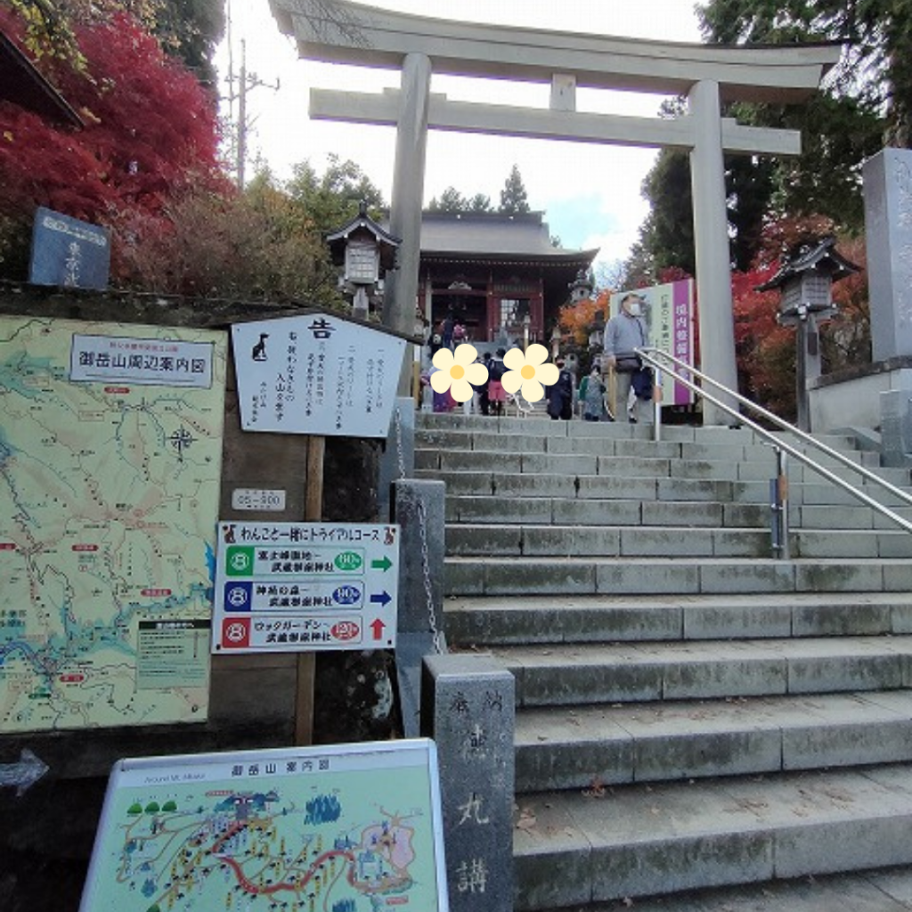
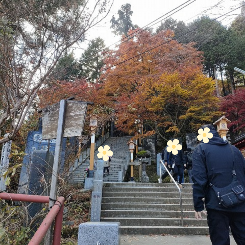
With the cable car station on your right, you will see the entrance to the Omotesando trail on your left. The Mitake Shrine and Torii (gateway to the mountain) is located here, and this is where the climb begins.

The slope up to this point was tough already, but the slope that I could see immediately after passing through the Torii was too high.
Climbing Omotesando
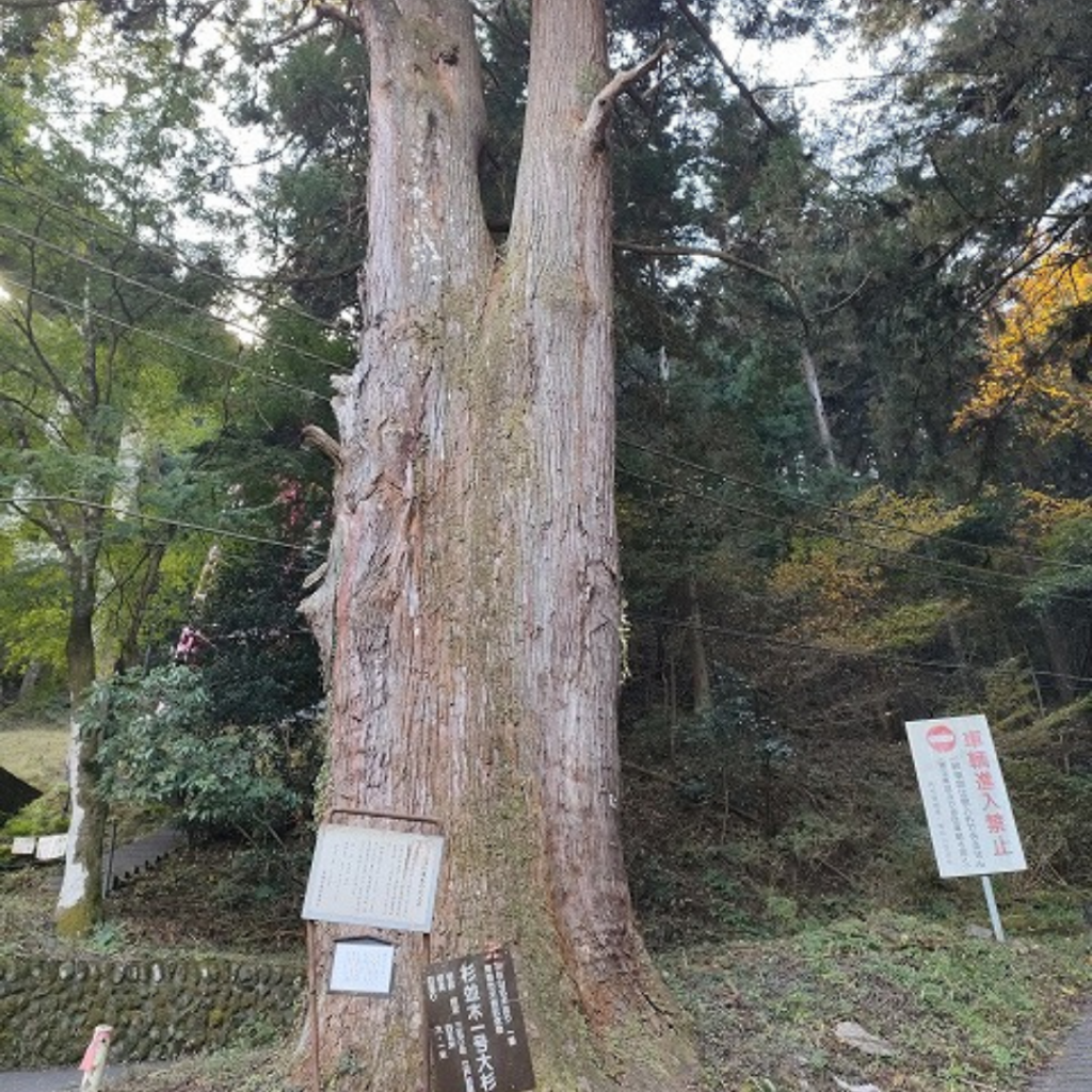
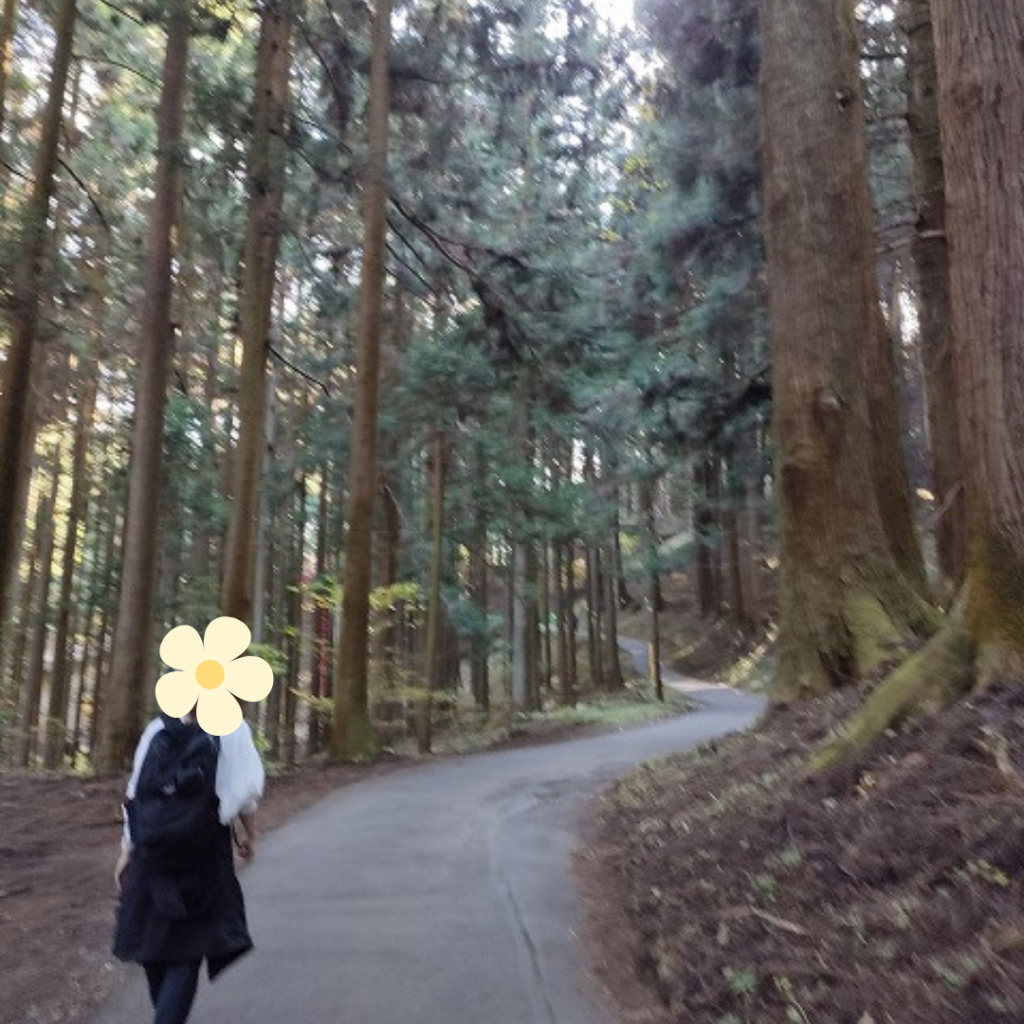
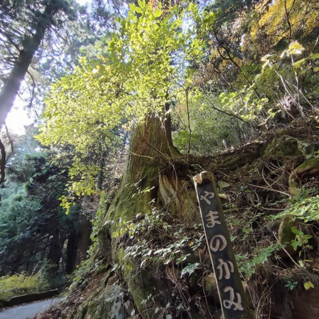
Throughout the path, you will be greeted by many & large cedar trees, but to my surprise, each tree is individually numbered.
We talked about how the numbers were decreasing one by one until we reached the summit, but it was only later that we were reminded of how long the journey was quantified and mentally beaten down by the system of decreasing numbers.
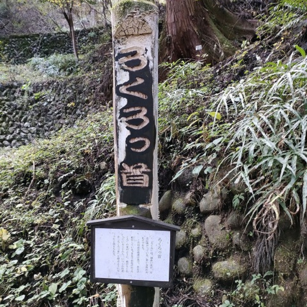
A little further on, I found a guide to the “rokurokubi”.
We read the guide and found the following explanation.
The slope in this area is steep and meanders from side to side.
It is said that the name “Rokurokubi” came to mean “the neck of a ghost” because of its twists and turns.
As it said, the hill is too steep and within 5 minutes of starting to walk, my heart is breaking.
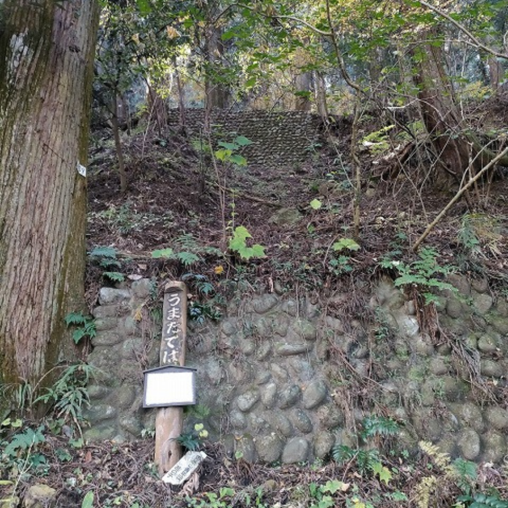
After a short walk, the next sign was “Umatateba.
It seems to have been a place for horses to rest, and I also want to rest here.
But I hold it in and walk on, unable to speak out to my friend in a weak voice.
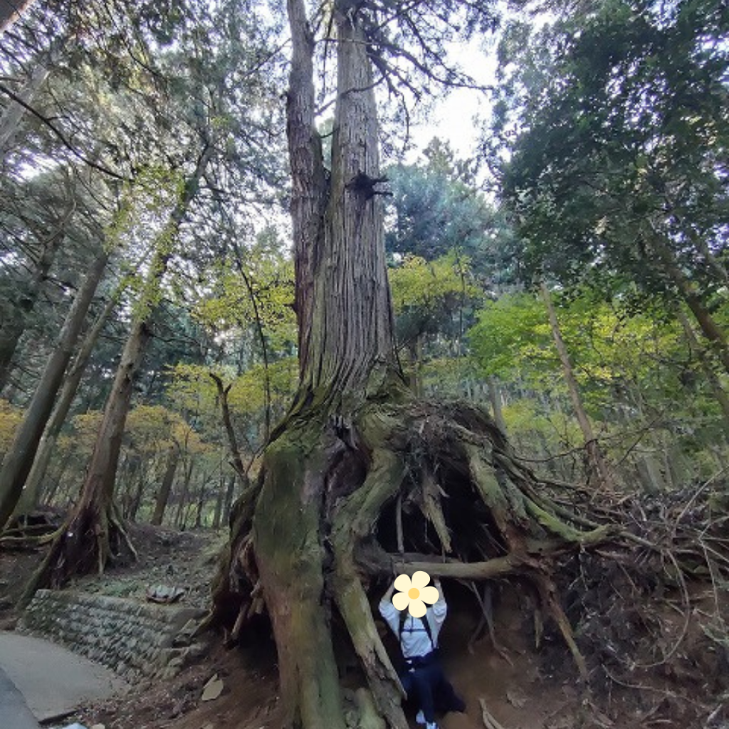
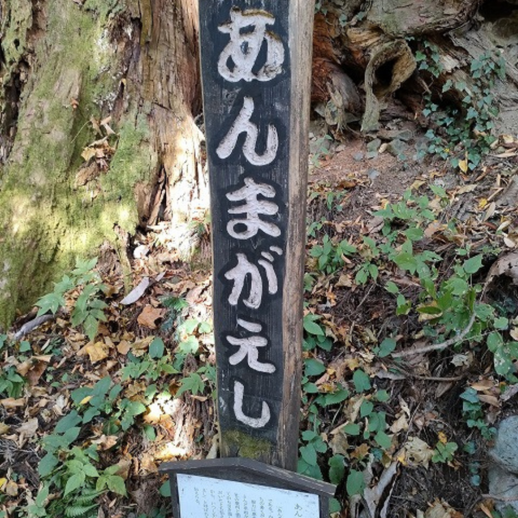
On the way, we found a space where the roots of a cedar tree were hollowed out, or perhaps a space where a person could fit in.
I suggested to my friend to go under the tree and take some pictures.
Because I wanted to take a short break here.
My friends were cackling and taking pictures, but I had neither the time nor the energy to laugh, and I was all about being the photographer.
(Because I didn’t have to make any unnecessary moves.)
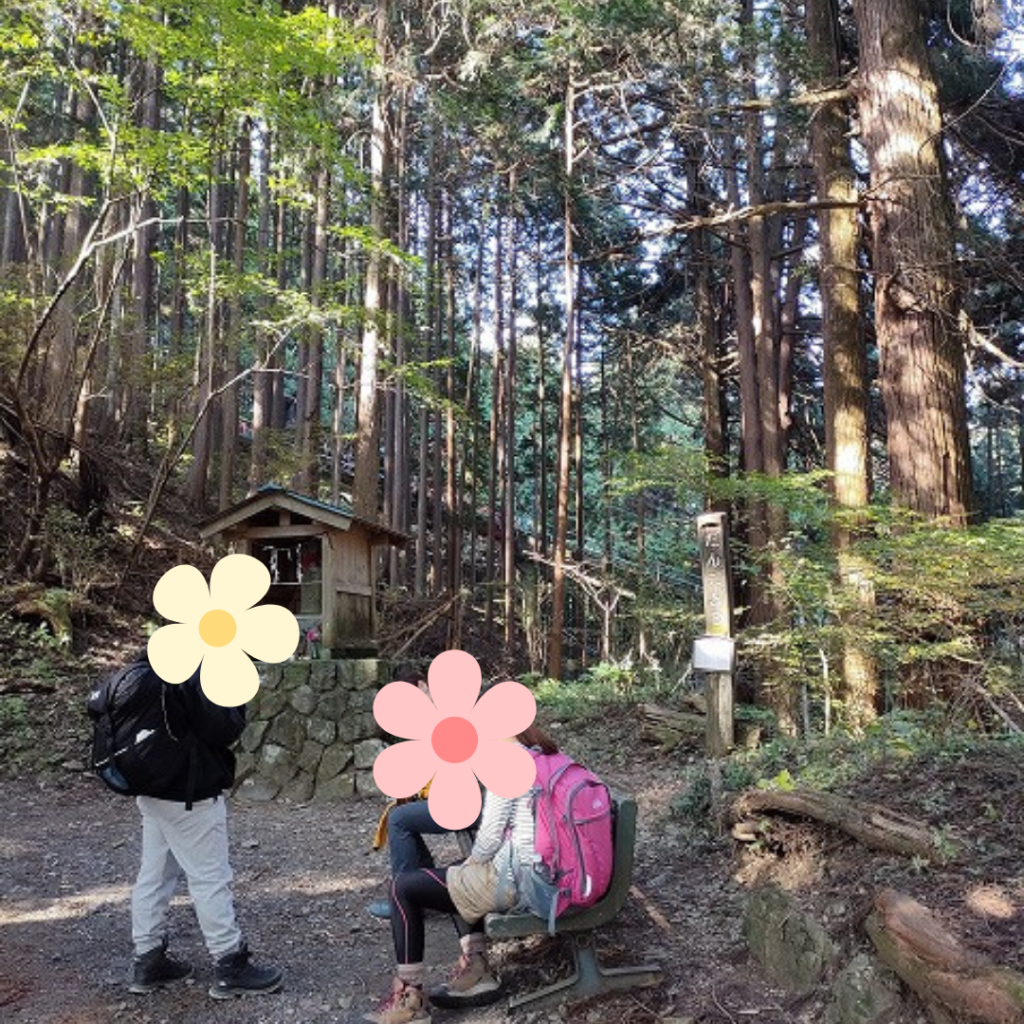
Well, after a little more progress, we finally found a bench… and were able to offer a formal rest..!
I kept walking up a very steep hill to express my tremendous gratitude to this bench.

The first 20 minutes of the climb were a struggle to find the right moment to rest.
Now, during the break, I was reminded of such methods as being mindless and letting my mind skip over the tough menu of club activities and not noticing how tough it was.
The mountain climbing I had been looking forward to turned out to be another hardship.
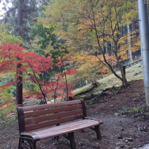
However! After this bench, the path became calmer.
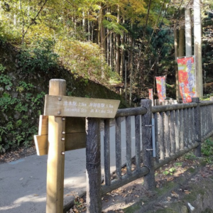
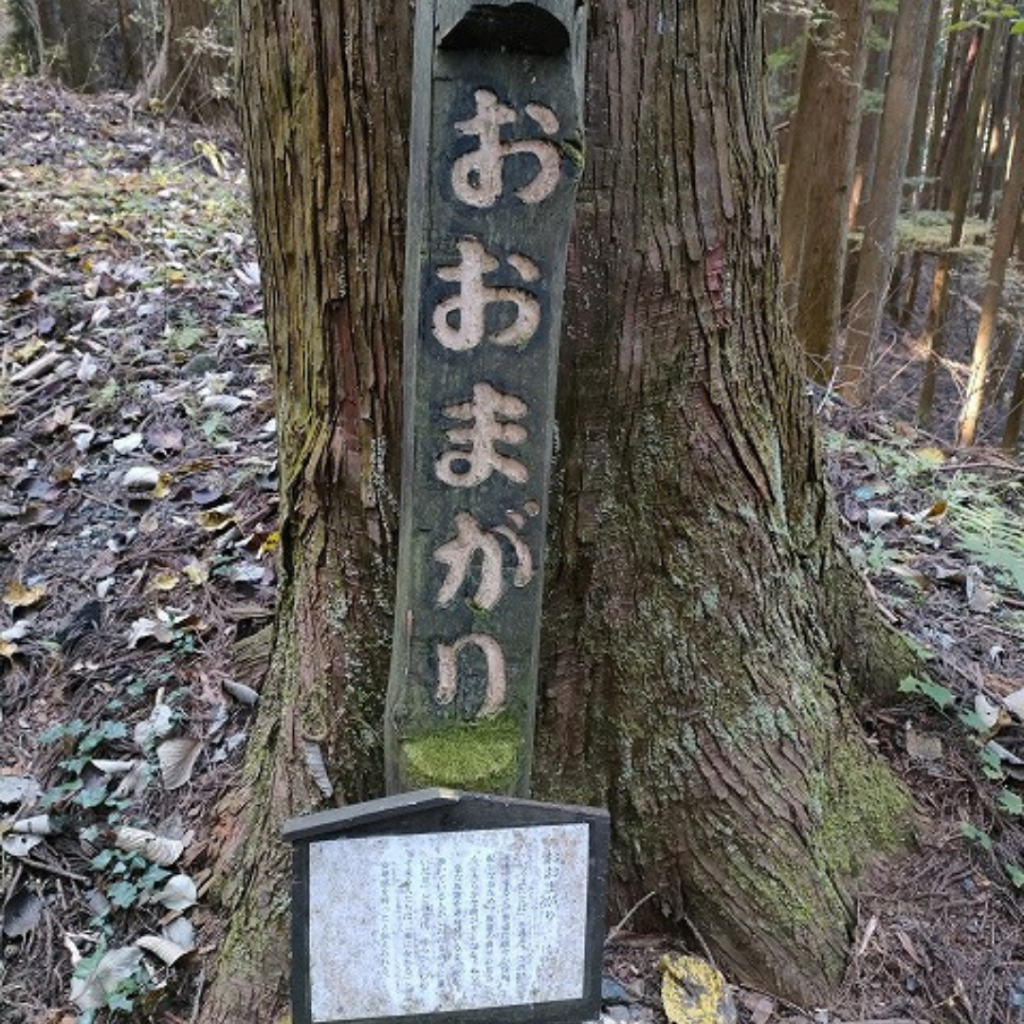
The next information board, “Oomagari,” stated.
After passing the “umatateba,” the approach to the shrine becomes more gradual, and the slope takes a more gentle turn.
It is said that the people walking ahead of the steep slope felt a sense of relief when they heard the words, “We have reached the Omagari,” which made it easier for the people following behind them.

I knew it!!! I know it’s been tough for all of us!
So from this point on, I had the presence of mind to take pictures while climbing the mountain.
To be honest, up to this point, when my friend spoke to me, I could only reply with a sigh.
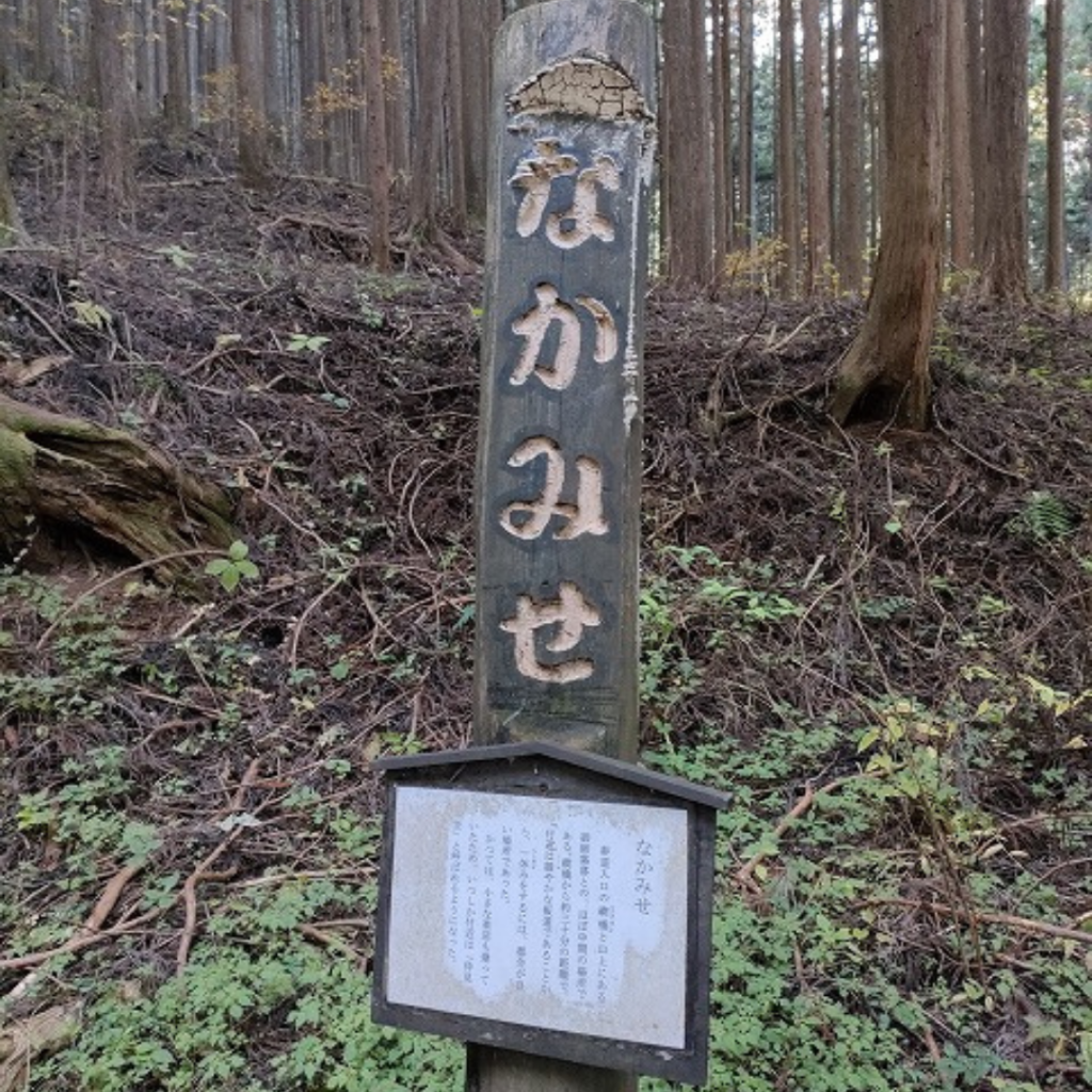
The next information board is “Nakamise.
It is about halfway between the approach to the village and the village on the mountain, about 30 minutes away, and has a gentle slope, so it was a convenient place to take a break.
There used to be a small tea store here.
A little further on, there is a resting place with a signboard that reads “Dangodo”.

It was a gentle slope, so I could go on without taking a break!
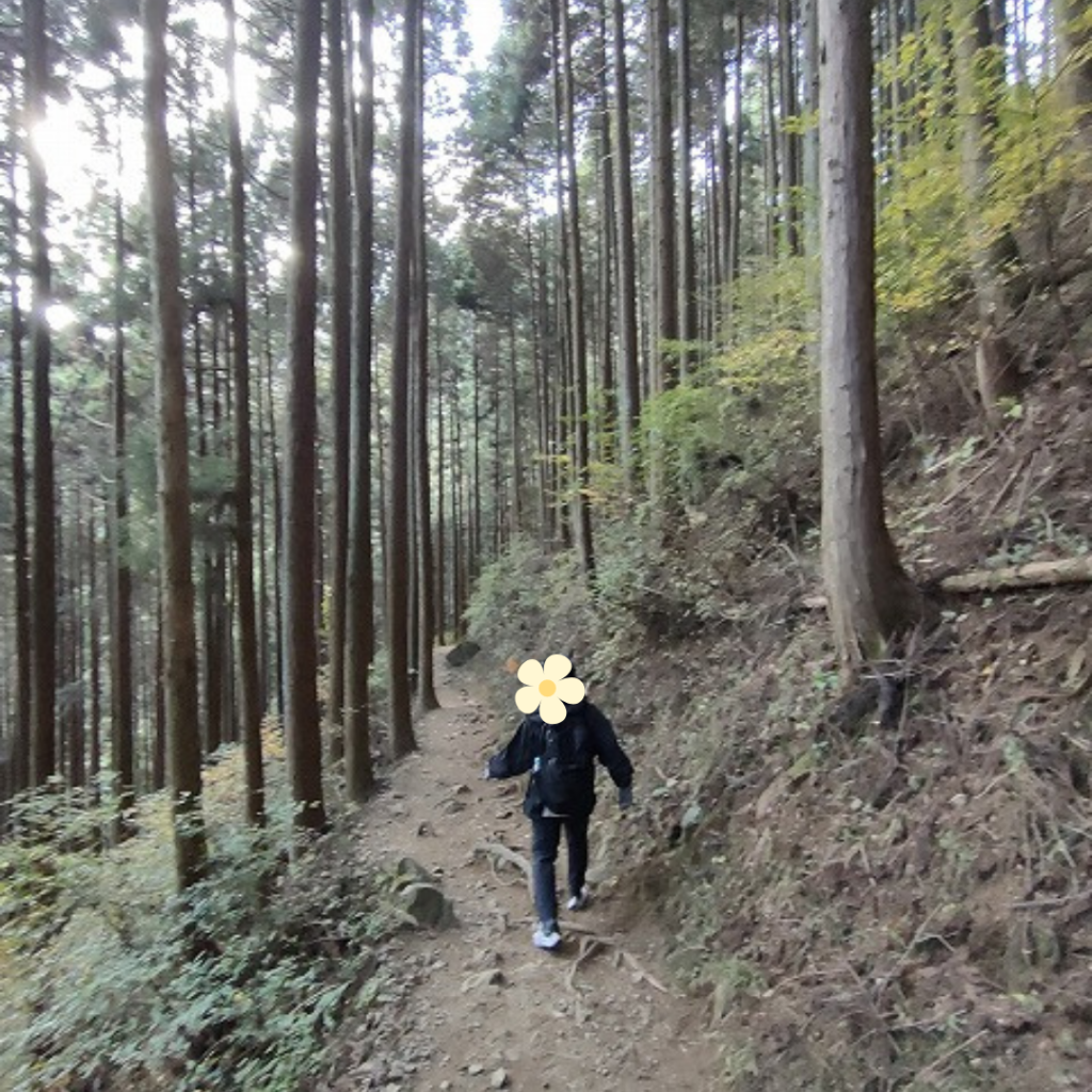
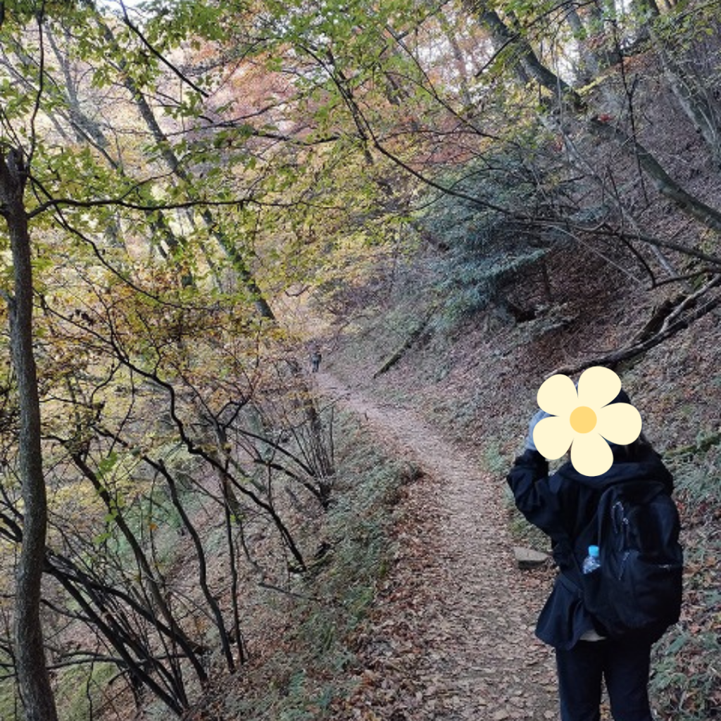
For the remaining 30 minutes, we continued to climb the mountain on a series of gentle paths and occasional hills.
At this point, I had time to look around and climb the mountain, but then I saw the number 30 on the cedar tree and wondered if I would have to pass 30 more..
I think it was starting to get to me.
So when the cedar tree was number one, I was finally able to climb it.
We started climbing at 11:45 and arrived at 12:47.
It took exactly one hour to climb the mountain!

I thought I couldn’t do it for the first 20 minutes, but the next 40 minutes were fun!
ロックガーデン目指してハイキング
Having done the climbing, the next step was to go hiking!
We headed first to the “Fureai Center”.
There were clean restrooms and running water outside, so we were allowed to hydrate here. Then we checked the course and headed for the rock garden.
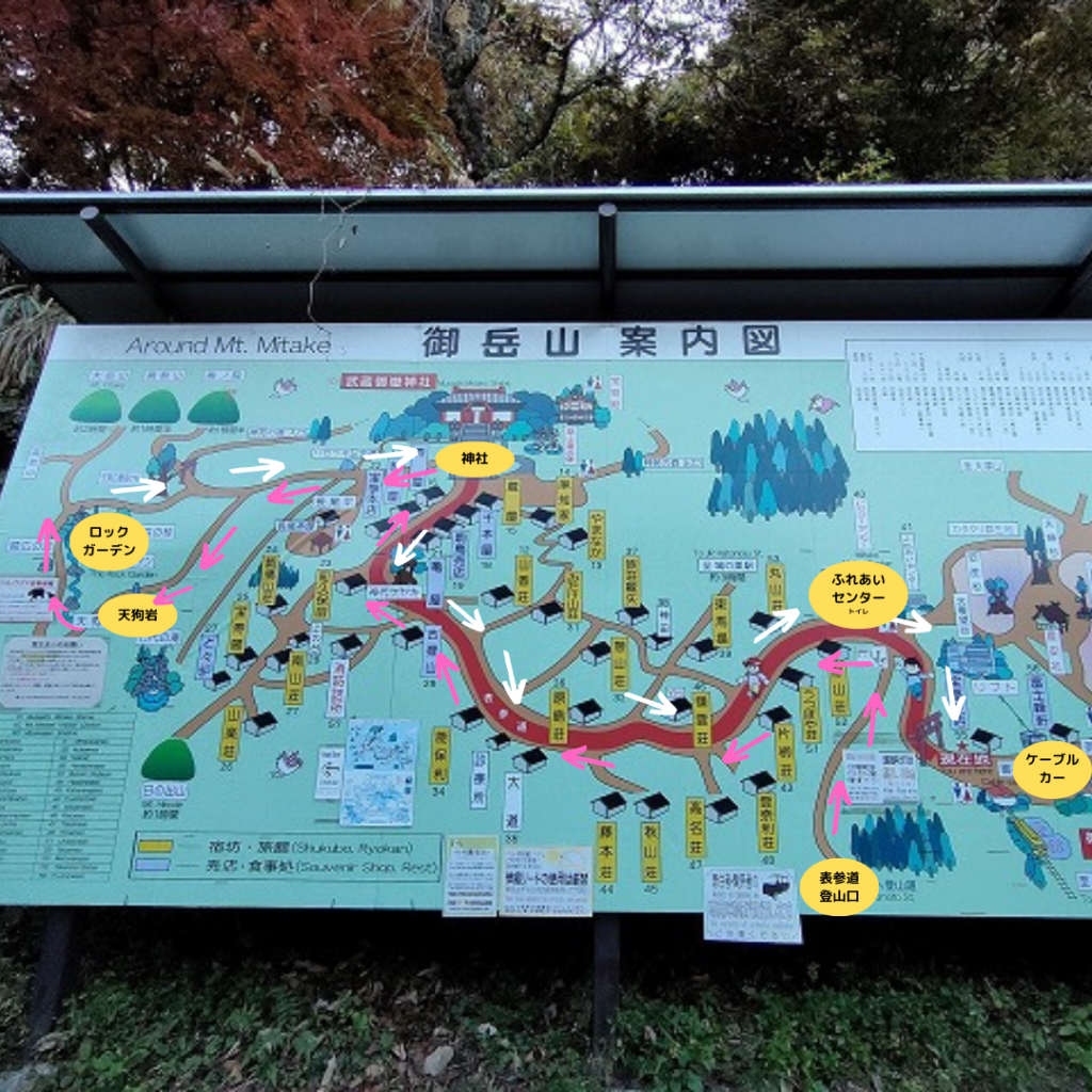
まずは神社に
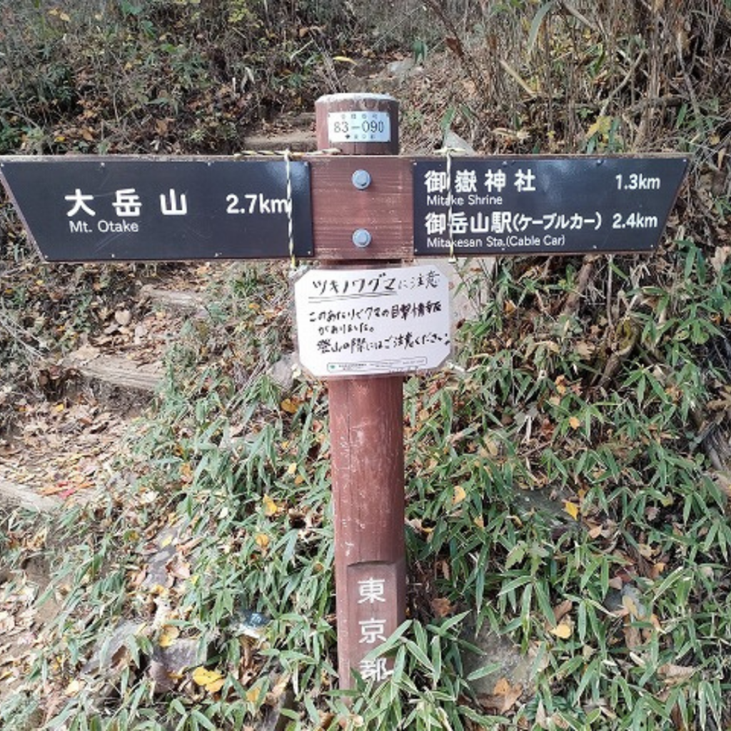
As soon as we started walking, we were forced to walk up a steep slope that made us wonder if we were going to be back at the trailhead again.
We were worried…if we kept going like this, would hiking be too hard?
I proceeded with apprehension.
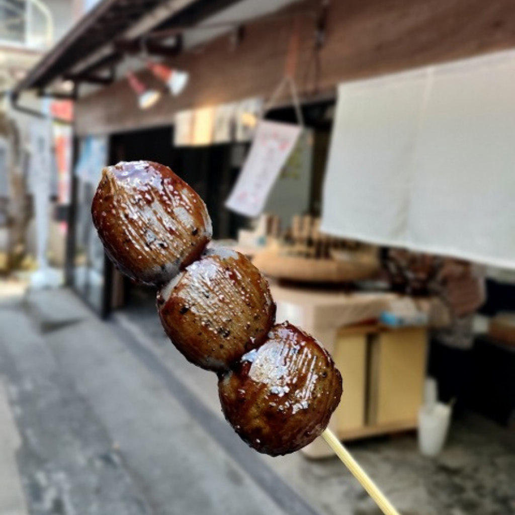
As we proceeded up the steep slope, again skipping around, a stall appeared, and my friend, who was hungry, ate a dango (I was too tired and had no appetite).
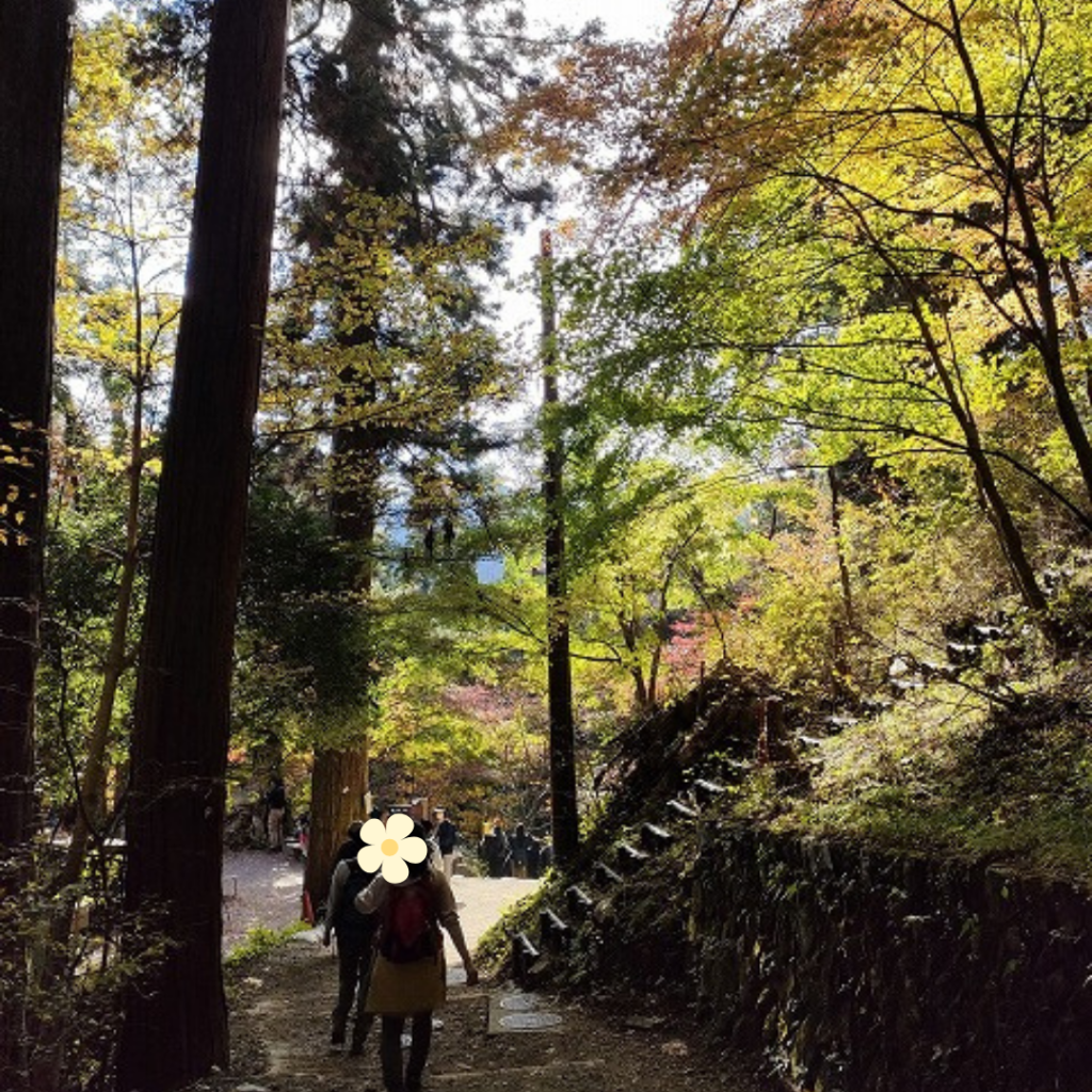
A little further on, the approach to the shrine came into view.
I could see endless stairs, but the rock garden does not go all the way up, and turns left in the middle.
Next is Tengu Iwa.
It is well marked and you will not get lost.
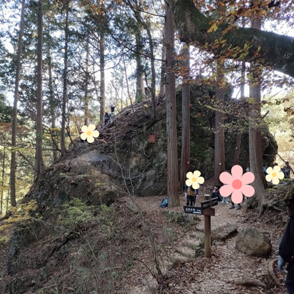
After you go from the paved road to the stone steps and gravel road, you will see Tengui-iwa (just over 15 minutes from the shrine).
Many people were using chains to climb Tengu Iwa, but we went through and headed for the rock garden.
After passing Tengu Iwa, you will reach the rock garden.
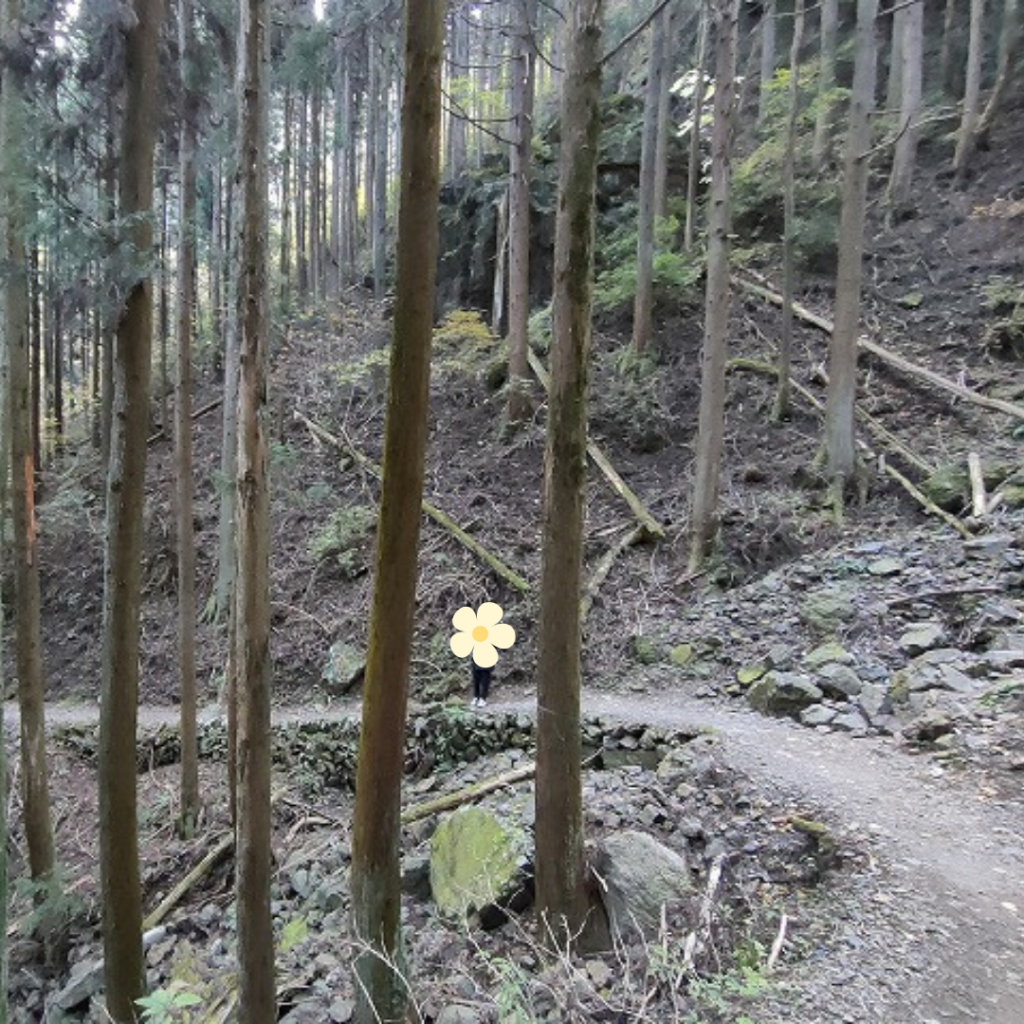
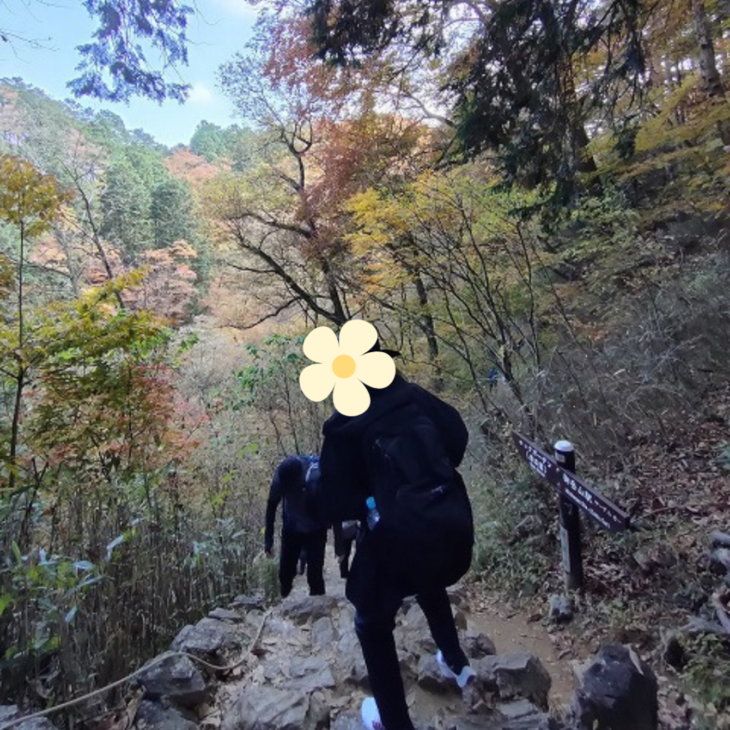
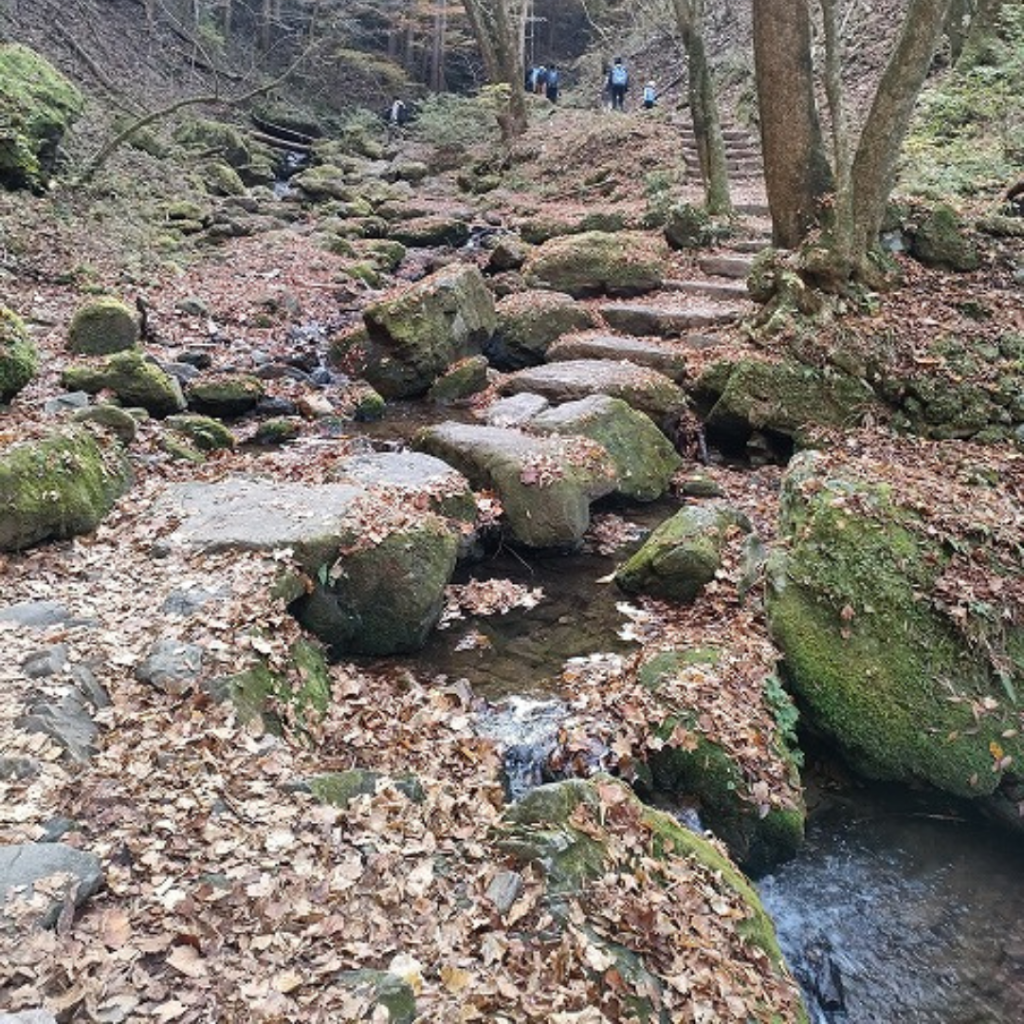
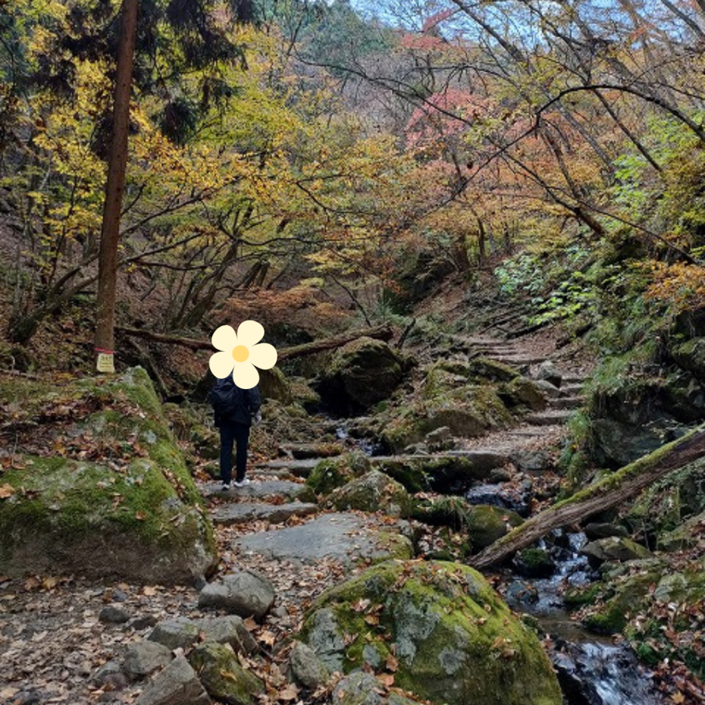
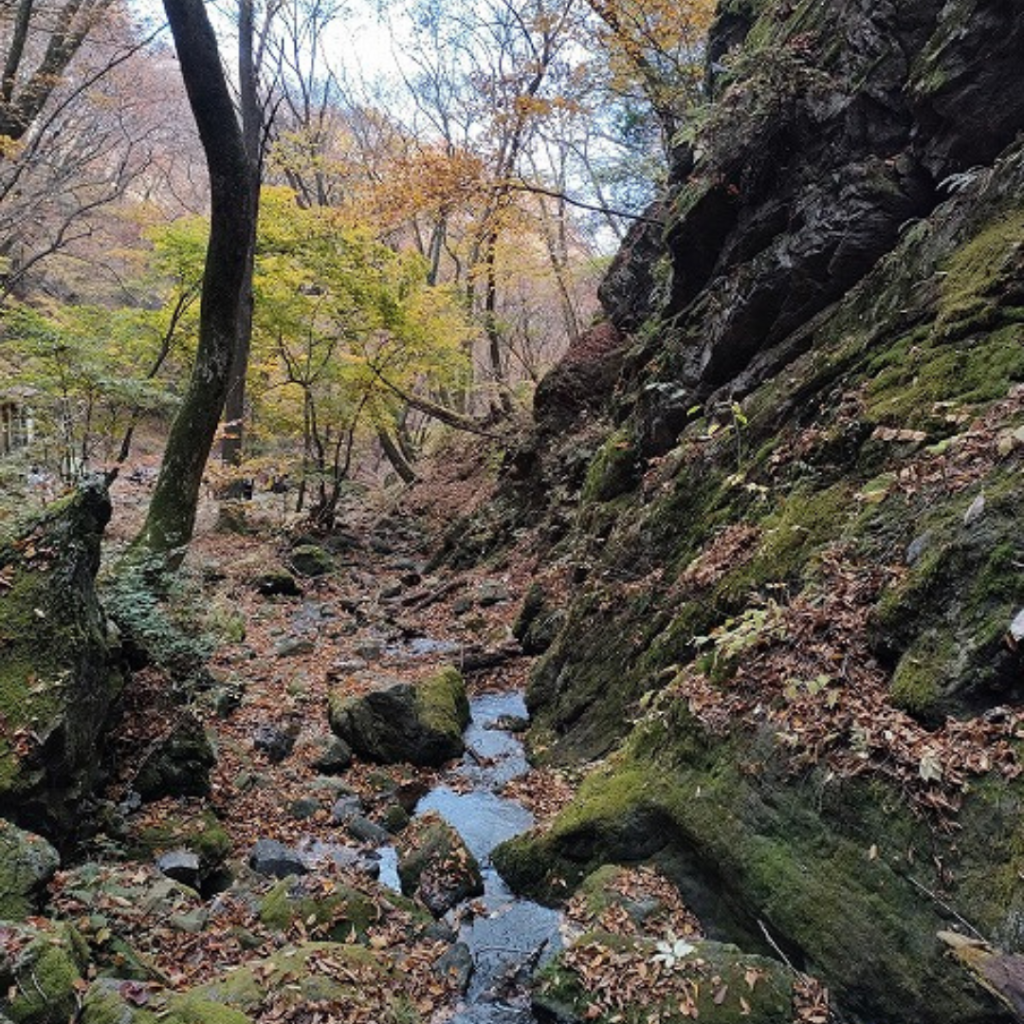
The path next to the rock garden is rocky, so if it’s wet, be careful. After thumping along the narrow path under the foliage, we arrived at a rocky area with running water.
It takes about 10 minutes from Tengu Iwa.
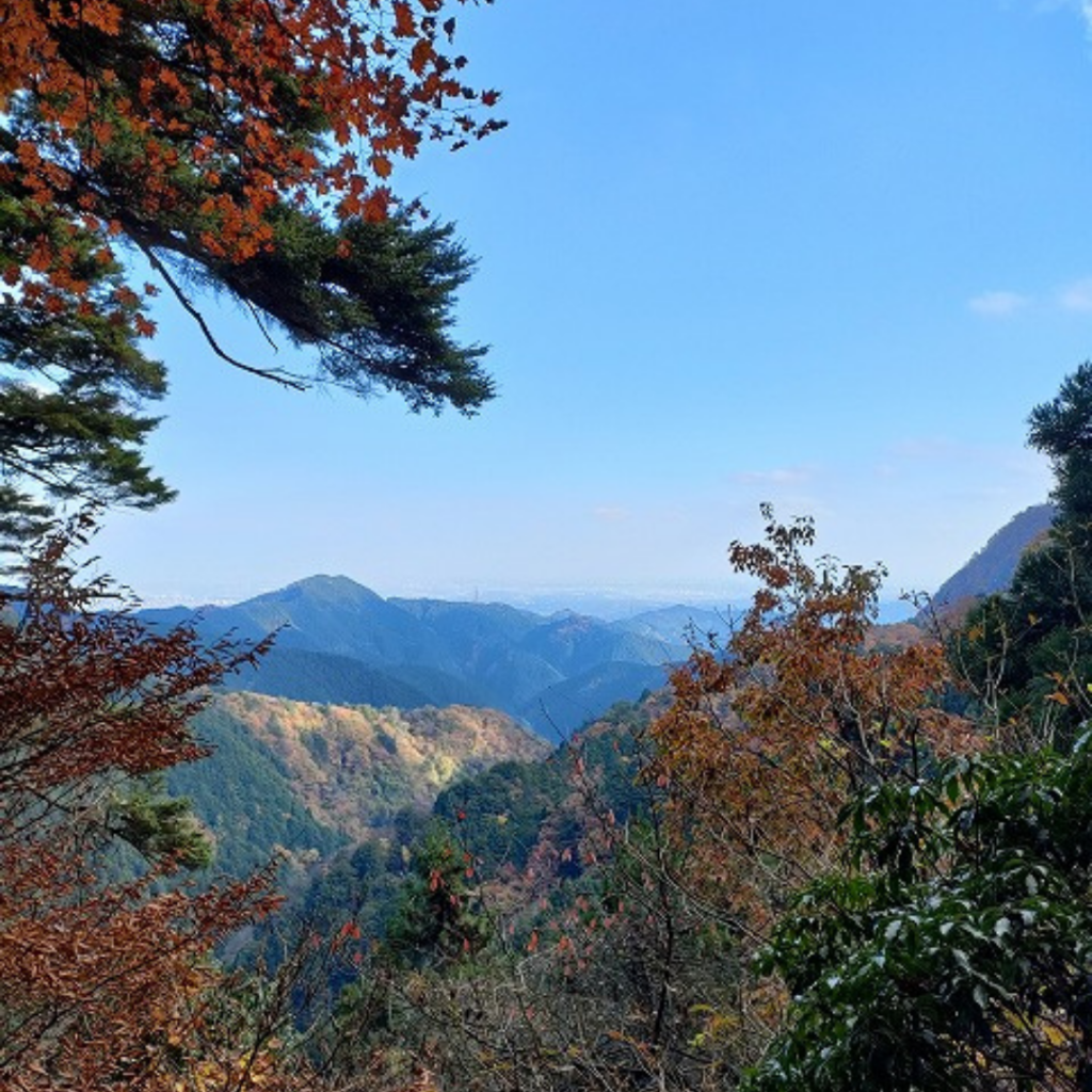
It’s hard to tell with all the fallen leaves, and the pictures don’t do it justice, but the water is beautiful and the rocky area is majestic.
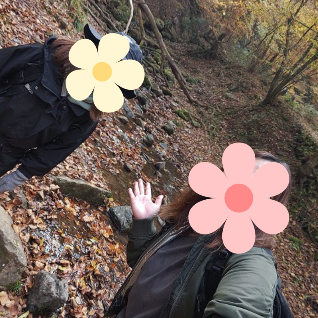
I was so tired that I took a picture with a big smile on my face! (Laughs).
we hadn’t done much research before, we didn’t have any idea this is the Rock Garden or not.
But the scenery was beautiful, so we said, “Either way, it doesn’t matter.
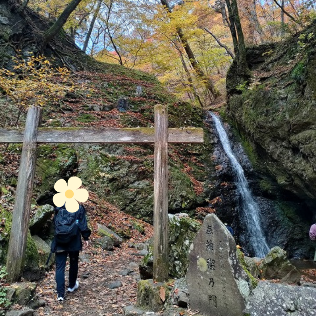
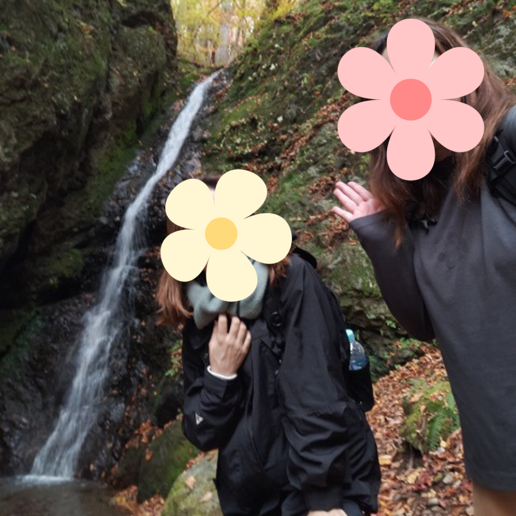
We stopped at a rest stop to fortify ourselves with bagels, bread, etc. that we had brought, and then tried to continue on where we came across a waterfall!
We were delighted to see the waterfall, which we had not expected to be able to see!
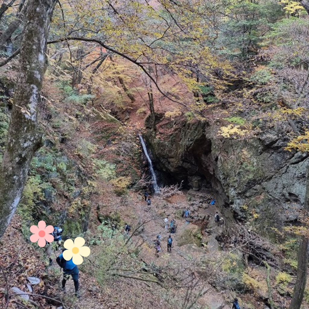
I wondered what was next, and was led up to a spot where I could see the waterfall basin I had just been in far below.
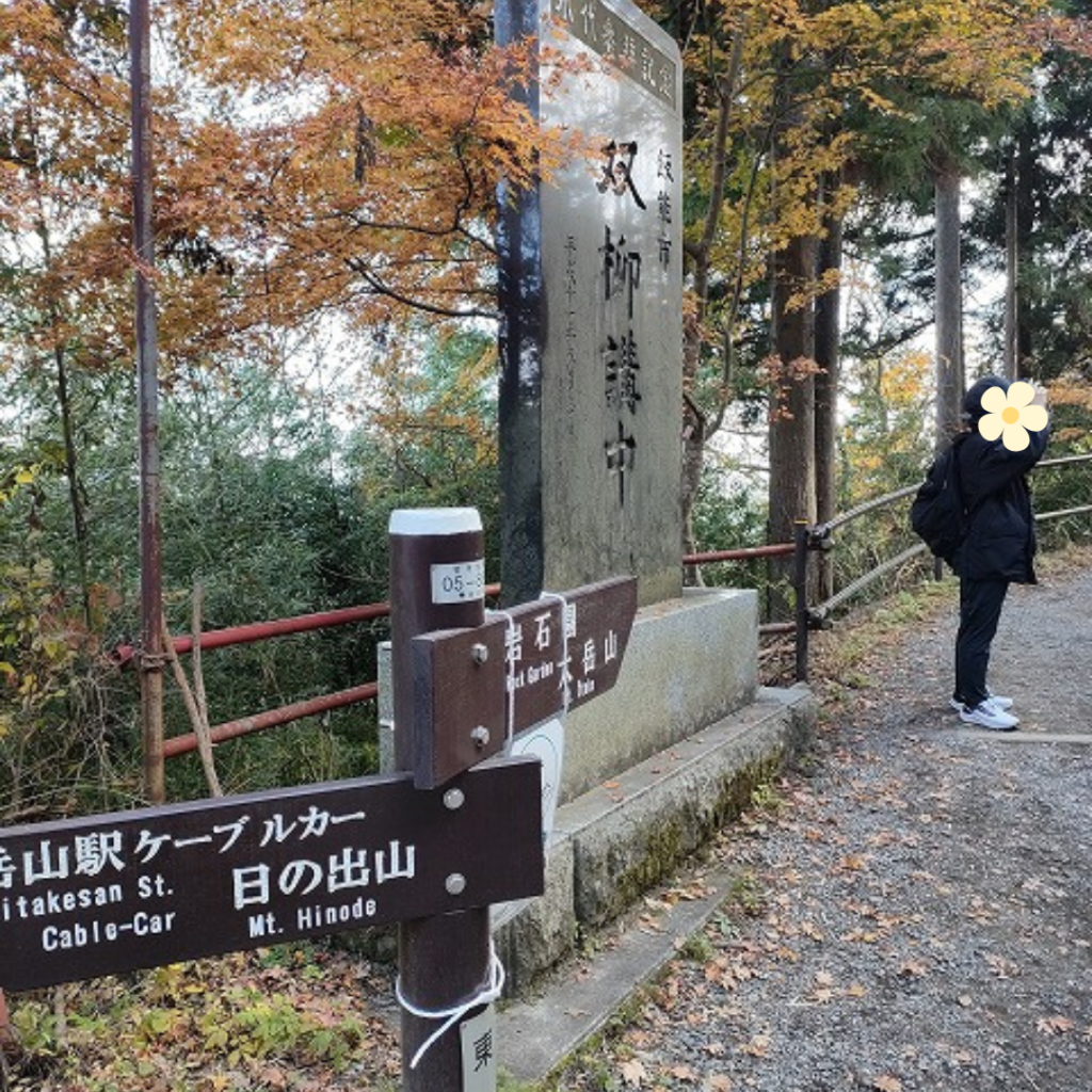
We continued on and found a sign for a path leading to the cable car, and we were on our way home.
It took us an hour to get from the shrine to the waterfall, including breaks and photo stops.

Beware of black bears…?
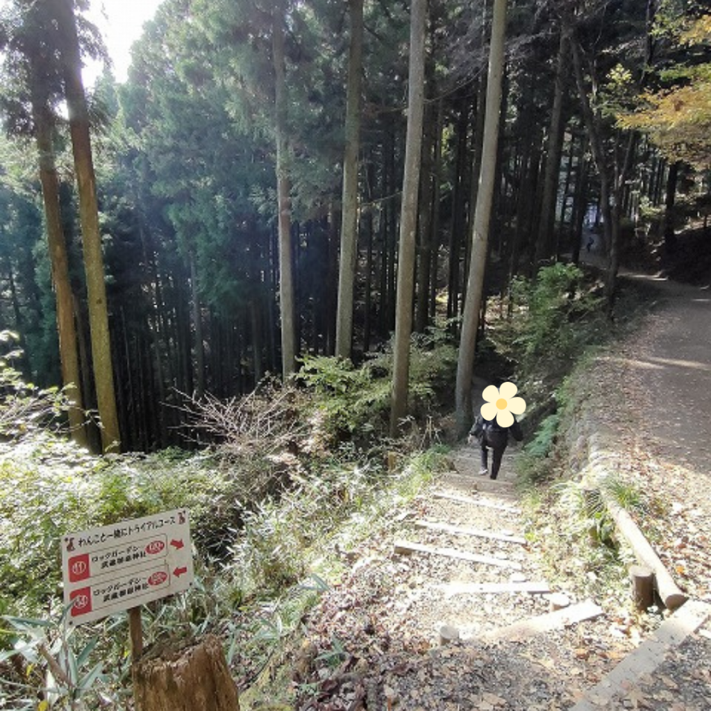
Now, the return trip from here is a light hike with no steep hills.
With no bear bell to protect us from bears, we had to talk about this, and we enjoyed the hike as we talked about our next trip plan.
I realized that mountain climbing is a hardship, but hiking is fun!
I thought that next time I might come back just to enjoy the hiking by cable car.

I can’t get the first 20 minutes of hell out of my head.
Cable car on the way back
Well, we started hiking around 1pm1 pm and returned to the village around 3pm.
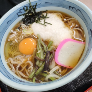
As you can imagine, I was full of energy (although my legs were a bit dull) and hungry by then, so I had soba noodles .
The soba noodle restaurant were not very busy at the time of going, but by this time, everyone was in the restaurant (even the stores with a line…) with outdoor people who enjoyed hiking.
We chose a vacant restaurant and were eating soba.
there were many people of various nationalities entering the restaurant, and the staff was speaking in English, which made me realize that the number of inbound visitors is gradually increasing.

By the way,It was soooooo deliciousness!
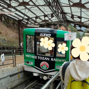
Now that our bellies were full, we headed for the cable car.
we had to wait in line quite a bit.
To be honest, I had the stamina to walk down the mountain, but it was around 16:00 and I was afraid of getting dark on that road while descending so I chose the cable car.
I rode home on a sizzling cable car.
まとめ
How was it?
I’ve climbed a few mountains in the past few years, and the first 20 minutes were really tough, but other than that I had a great time climbing.
If you are looking for other mountains, please refer to this mountaineering report as Mt. Mitsumine and the ruins of Takeda Castle in Kansai were honestly much tougher.
Currently in the process of writing. Please wait a moment.


comment